Beaver Creek (York Region) facts for kids
Quick facts for kids Beaver Creek |
|
|---|---|

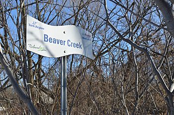
Beaver Creek in Richmond Hill
|
|
|
Location of the mouth of Beaver Creek in Southern Ontario
|
|
| Country | Canada |
| Province | Ontario |
| Region | Greater Toronto Area |
| Regional municipality | York |
| Municipalities |
|
| Physical characteristics | |
| Main source | Richmond Hill 219 m (719 ft) 43°52′45″N 79°24′31″W / 43.87917°N 79.40861°W |
| River mouth | Rouge River 175 m (574 ft) 43°50′50″N 79°20′05″W / 43.84722°N 79.33472°W |
| Basin features | |
| River system | Great Lakes Basin |
Beaver Creek is a small river located in the Canadian province of Ontario. It flows through the towns of Markham and Richmond Hill. These towns are part of the Regional Municipality of York, which is near Toronto.
Beaver Creek is part of a larger water system called the Great Lakes Basin. This means its waters eventually flow towards the Great Lakes. The creek is a branch, or "tributary," of the Rouge River. It joins the Rouge River from the right side.
Where Does Beaver Creek Start and Go?
Beaver Creek begins in Richmond Hill. Its source is a special area where water collects from a large underground pipe called a drainage culvert. This culvert helps manage water flow in the area.
From its start, the creek flows generally towards the southeast. It passes through neighborhoods where people live. Then, it goes under a busy intersection: Leslie Street and 16th Avenue. After this, it enters an area in Markham known as the Beaver Creek industrial area. An industrial area is where many businesses and factories are located.
The creek continues its journey southeast. It flows under a major highway, Highway 404. It also passes near the community of Brown's Corners. This is close to where Woodbine Avenue and Highway 7 meet.
Finally, Beaver Creek turns northeast. It joins the Rouge River just southeast of the IBM Toronto Software Lab. The Rouge River then continues its path until it empties into Lake Ontario.
 | Bayard Rustin |
 | Jeannette Carter |
 | Jeremiah A. Brown |


