Bockkarkopf facts for kids
Quick facts for kids Bockkarkopf |
|
|---|---|

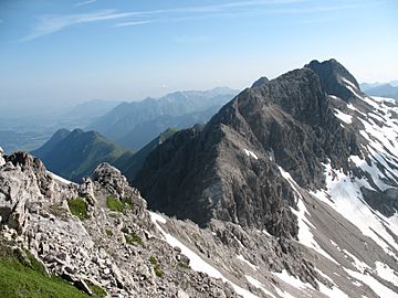
The Bockkarkopf from the Steinschartenkopf
|
|
| Highest point | |
| Elevation | 2609m |
| Prominence | 105 m ↓ Bockkarscharte → Hochfrottspitze |
| Isolation | 0.8 km → Hochfrottspitze |
| Geography | |
|
Lua error in Module:Location_map at line 420: attempt to index field 'wikibase' (a nil value).
|
|
| Parent range | Central ridge, Allgäu Alps |
| Climbing | |
| Normal route | over the Heilbronn Way |
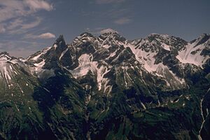
The Bockkarkopf is a cool mountain in the Allgäu Alps, a mountain range in Europe. It's super tall, reaching about 2,609 metres (8,560 ft) (that's over 8,500 feet!) into the sky. This makes it one of the highest peaks in the Allgäu Alps, actually the ninth highest!
Exploring Bockkarkopf
Where is Bockkarkopf?
This mountain sits right on the border between two countries: Germany (in the region of Bavaria) and Austria (in the region of Tyrol). It's part of the main ridge of the Allgäu Alps.
You can find the Bockkarkopf between two other mountains. To its southwest is the Wilder Mann mountain. To its northeast is the Hochfrottspitze mountain.
What Makes Bockkarkopf Special?
The Bockkarkopf has a unique, almost triangular shape at its peak. It's a popular spot for hikers. A famous path called the Heilbronn Way (or Heilbronner Weg in German) goes right over the top of this mountain. This trail is well-known for its amazing views and exciting sections.
 | Bayard Rustin |
 | Jeannette Carter |
 | Jeremiah A. Brown |


