
Cabo Caribe facts for kids
Quick facts for kids
Cabo Caribe
|
|
|---|---|
|
Barrio
|
|

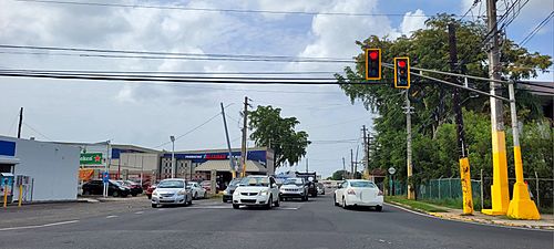
Puerto Rico Highway 688 in Cabo Caribe
|
|

Location of Cabo Caribe within the municipality of Vega Baja shown in red
|
|

Cabo Caribe
Location in Caribbean
|
|
| Commonwealth | |
| Municipality | |
| Area | |
| • Total | 4.88 sq mi (12.6 km2) |
| • Land | 4.85 sq mi (12.6 km2) |
| • Water | 0.03 sq mi (0.08 km2) |
| Elevation | 0 ft (0 m) |
| Population
(2010)
|
|
| • Total | 3,989 |
| • Density | 820.8/sq mi (316.9/km2) |
| Source: 2010 Census | |
| Time zone | UTC−4 (AST) |
Cabo Caribe is a small area, or barrio, located in the town of Vega Baja, Puerto Rico. In 2010, about 3,989 people lived there. It's a part of Puerto Rico, which is an island in the Caribbean Sea.
History of Cabo Caribe
Puerto Rico became a territory of the United States after the Spanish–American War in 1898. Before that, it was controlled by Spain. The war ended with the Treaty of Paris of 1898, which meant Spain gave Puerto Rico to the United States.
In 1899, the U.S. government took a count of all the people in Puerto Rico. This count, called a census, found that 277 people lived in the Cabo Caribe barrio at that time. Over the years, the number of people living in Cabo Caribe has changed, as shown in the census records below.
| Historical population | |||
|---|---|---|---|
| Census | Pop. | %± | |
| 1900 | 277 | — | |
| 1960 | 1,488 | — | |
| 1980 | 5,296 | — | |
| 1990 | 4,901 | −7.5% | |
| 2000 | 4,581 | −6.5% | |
| 2010 | 3,989 | −12.9% | |
| U.S. Decennial Census 1899 (shown as 1900) 1910-1930 1930-1950 1960 1980-2000 2010 |
|||
Images for kids
-
Puerto Rico Highway 686 in Cabo Caribe

See also
- List of communities in Puerto Rico
- In Spanish: Cabo Caribe para niños
