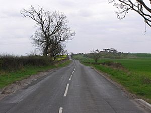
Cade's Road facts for kids
Cade's Road is the name given to a possible Roman Road in north-east England. It stretches about 160 kilometers (100 miles) from the Humber Estuary in the south to the River Tyne in the north. This ancient road is named after John Cade, a person from the 1700s who studied old things. In 1785, he suggested that this road existed and mapped out where it might have gone.
Even today, experts are not completely sure about the road's exact path. However, there is good evidence that parts of the road did exist. We do not know what the Romans themselves called this road.
Where Did Cade's Road Go?
From the Humber to the Tees
Cade's Road likely started at a place called Brough. This was an important spot because it had a ferry crossing, a Roman fort, and a town called Petuaria. It was also near a large Celtic settlement.
The road then headed north through places like Thorpe le Street and Market Weighton. After that, it slowly turned west. It might have followed another Roman road until it reached York. York was a very important Roman city known as Eboracum.
From York, the road continued north to Thornton-le-Street near Thirsk. It then crossed the River Tees. There was once a stone bridge here, but it is now gone. Some of its stones can still be found in local buildings. This crossing was near Middleton St George and Middleton One Row. A lane there, 'Pounteys Lane', might even be named after the Roman bridge, Pons Tees.
From the Tees to the Tyne
After crossing the River Tees, the road continued north through Sadberge. It then passed through Great Stainton, which was also known as Stainton-le-Street. This name suggests the road went right through it.
The exact path of the road in the Durham area is not fully known. However, it is thought to have gone east of Durham City. It would have crossed the River Wear at a place called Kepier.
The road then went past a Roman fort called Concangis. This fort was located at Chester-le-Street. Concangis is the only Roman fort we know of along this road between York and Newcastle.
From Concangis, the road headed north through Birtley to Wrekenton. Wrekenton used to be a village, but now it is part of Gateshead. From Wrekenton, a smaller road called the Wrekendyke branched off. This branch went north-east to the Roman fort and harbor of Arbeia at South Shields. Some people think there might have been another Roman fort on the golf course at Wrekenton, but this has never been proven.
Cade's Road continued north from Wrekenton along Gateshead High Street. It then crossed the River Tyne using the Roman bridge called Pons Aelius. This bridge was in Newcastle upon Tyne. It is believed that Cade's Road did not continue north of Hadrian's Wall.
 | Aurelia Browder |
 | Nannie Helen Burroughs |
 | Michelle Alexander |


