Campbell River (Vancouver Island) facts for kids
Quick facts for kids Campbell River |
|
|---|---|

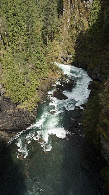
Campbell River downstream of Elk Falls in the Elk Canyon as seen from suspension bridge in Elk Falls Provincial Park
|
|
| Native name | Tla'mataxw |
| Physical characteristics | |
| River mouth | 50°02′30″N 125°15′25″W / 50.04167°N 125.25694°W |
| Basin features | |
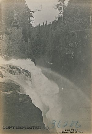
| Waterfalls | Elk Falls |
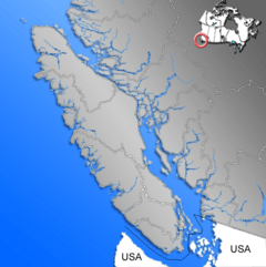
The Campbell River is an important river on Vancouver Island in British Columbia, Canada. It flows into Discovery Passage, which is part of the Strait of Georgia. The river ends at the City of Campbell River.
The local Kwak'wala Indigenous people call the river Tla'mataxw. This name is also used for a village near the river's mouth. The Campbell River starts from Buttle Lake.
Contents
Why is it called Campbell River?
The Campbell River was named after Dr. Samuel Campbell. He was a ship's surgeon on a ship called HMS Plumper from 1857 to 1861.
Other places like Campbell Bay and Samuel Island were also named after him. This shows how important he was to the area.
How the River Makes Electricity
The Campbell River is used to create hydroelectricity. This is a way to make power using the force of moving water. There are three large dams on the river that help with this.
The Dams and Power Stations
- The John Hart Dam was finished in 1947. It creates a lake called John Hart Lake.
- Upstream from there is the Ladore Dam, completed in 1949. It holds back Lower Campbell Lake.
- The Strathcona Dam is the furthest upstream. It was finished in 1958 and forms Upper Campbell Lake.
Each of these dams has a power station next to it. These stations use the water flowing from the lakes to generate electricity. The John Hart Generating Station is the biggest of them all.
Electricity for Vancouver Island
Together, these three power stations produce about 11 percent of all the electricity used on Vancouver Island. This means they are a very important source of power for many homes and businesses.
Because the power stations are quite old, the John Hart station was updated between 2014 and 2019. This was done to make sure it was safe and could keep providing power for many years.
 | Janet Taylor Pickett |
 | Synthia Saint James |
 | Howardena Pindell |
 | Faith Ringgold |


