Canoe Lake (Kenora District) facts for kids
Quick facts for kids Canoe Lake (Kenora District) |
|
|---|---|
| Location | Kenora District, Ontario, Canada |
| Coordinates | 49°37′22″N 94°55′41″W / 49.62278°N 94.92806°W |
| Primary outflows | Unnamed creek to Shoal Lake |
| Basin countries | Canada |
| Max. length | 1.5 km (0.93 mi) |
| Surface elevation | 335 m (1,099 ft) |
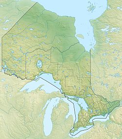
Canoe Lake is a cool, V-shaped lake located in the Kenora District of Ontario, Canada. It's found just east of the border with Manitoba. The lake is about 11 kilometres (7 mi) south of Highway 17, a major road in the area.
Contents
Exploring Canoe Lake
Canoe Lake is a small but interesting body of water. It plays a part in a much larger system of lakes and rivers in Canada.
What Does Canoe Lake Look Like?
Canoe Lake has a unique "V" shape. Imagine the letter V, and that's how the lake looks from above! Each side of this "V" is about 1.5 kilometres (0.9 mi) long. This makes it a relatively small lake, perfect for exploring by canoe or kayak.
How Does Water Flow From Canoe Lake?
The water from Canoe Lake doesn't just stay put. It flows out through an unnamed creek. This creek leads to Shoal Lake. Shoal Lake is a much larger lake that is part of the Winnipeg River system.
Part of a Bigger Water System
The Winnipeg River eventually flows into the Nelson River. The Nelson River then carries water all the way to Hudson Bay. This means that water from Canoe Lake travels a very long distance across Canada! It's amazing how all these lakes and rivers are connected.


