Captain Rogelio Castillo National Airport facts for kids
Quick facts for kids
Captain Rogelio Castillo National Airport
Aeropuerto Nacional Capitán Rogelio Castillo
|
|||||||||||
|---|---|---|---|---|---|---|---|---|---|---|---|
 |
|||||||||||
| Summary | |||||||||||
| Airport type | Public | ||||||||||
| Operator | Patronato del Aeropuerto de Celaya | ||||||||||
| Serves | Celaya | ||||||||||
| Elevation AMSL | 5,709 ft / 1,740 m | ||||||||||
| Coordinates | 20°32′45″N 100°53′11″W / 20.54583°N 100.88639°W | ||||||||||
| Map | |||||||||||
| Runway | |||||||||||
|
|||||||||||
| Statistics (2021) | |||||||||||
|
|||||||||||
|
Source: Agencia Federal de Aviación Civil
|
|||||||||||
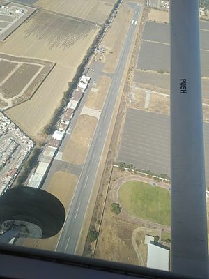
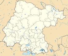
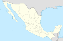
Captain Rogelio Castillo National Airport (Spanish: Aeropuerto Nacional Capitán Rogelio Castillo) (IATA: CYW, ICAO: MMCY) is an airport that serves Celaya. Celaya is a city in the state of Guanajuato in Mexico. This airport is about 15 minutes from the city center. It is mostly used for general aviation, which means smaller, private planes. A group called "Patronato del Aeropuerto de Celaya" operates it. This group is owned by the government.
A Look at Its History
The airport had a few flights to Ixtapa in November 2004. However, this service stopped because very few people bought tickets. Regular commercial flights started on January 22, 2007. These flights went from Celaya to Querétaro and then to Monterrey. Other flights went from Celaya to Querétaro and then to Mexico City. The company Aeromar operated these routes. The service ended on April 18, 2008. This happened because not many people were flying. Also, the cost of airplane fuel was very high.
Airport Features
This airport is located 5,709 feet (1,740 m) above mean sea level. This is its elevation. It has one main runway for planes to take off and land.
The Runway
The runway is named 08/26. It has an asphalt surface. It measures 1,915 by 30 metres (6,283 ft × 98 ft). This means it is 1,915 meters long and 30 meters wide.
See also

 | Delilah Pierce |
 | Gordon Parks |
 | Augusta Savage |
 | Charles Ethan Porter |


