Cirque Lake facts for kids
Quick facts for kids Cirque Lake |
|
|---|---|
| Location | Custer County, Idaho |
| Coordinates | 44°06′25″N 114°37′15″W / 44.107052°N 114.620724°W |
| Lake type | Glacial |
| Primary outflows | Big Boulder Creek to East Fork Salmon River |
| Basin countries | United States |
| Max. length | 350 m (1,150 ft) |
| Max. width | 315 m (1,033 ft) |
| Surface elevation | 3,070 m (10,070 ft) |
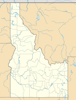
Cirque Lake is a beautiful alpine lake found in Custer County, Idaho, in the United States. It's nestled high up in the amazing White Cloud Mountains, which are part of the huge Sawtooth National Recreation Area. This special lake was formed by glaciers long, long ago!
Contents
What is Cirque Lake?
Cirque Lake is a type of glacial lake. This means it was created by a glacier. Glaciers are like giant, slow-moving rivers of ice. As they move, they carve out the land. When a glacier melts, it leaves behind a bowl-shaped hollow. This hollow then fills with water, forming a lake. Cirque Lake sits in one of these natural bowls.
Where is Cirque Lake Located?
Cirque Lake is in a very scenic part of Idaho. It's found in the White Cloud Mountains. These mountains are known for their tall peaks and clear lakes. The lake is also inside the Sawtooth National Recreation Area. This is a special protected area. It offers many outdoor activities like hiking and camping.
Getting to Cirque Lake
You can reach Cirque Lake by hiking. It's part of the Sawtooth National Forest. Hikers use a path called trail 601 to get there. It's a great way to explore the wilderness.
What's Around Cirque Lake?
Cirque Lake is surrounded by other interesting natural features. It is located just east of a mountain peak called D. O. Lee Peak.
Nearby Lakes
Cirque Lake is connected to other lakes in the area. Water flows from "The Kettles" into Cirque Lake. Then, water flows out of Cirque Lake and into several other lakes. These include:
The water from Cirque Lake eventually flows into Big Boulder Creek. This creek then joins the East Fork Salmon River.
 | James B. Knighten |
 | Azellia White |
 | Willa Brown |


