Collinston, Utah facts for kids
Quick facts for kids
Collinston, Utah
|
|
|---|---|
| Country | United States |
| State | Utah |
| County | Box Elder |
| Settled | 1860 |
| Named for | Collins Fulmer |
| Elevation | 4,432 ft (1,351 m) |
| Time zone | UTC-7 (Mountain (MST)) |
| • Summer (DST) | UTC-6 (MDT) |
| ZIP codes |
84306
|
| GNIS feature ID | 1428419 |
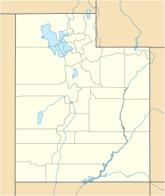
Collinston is a small place in Box Elder County, Utah, United States. It is called an "unincorporated community." This means it's a town that doesn't have its own local government. Instead, it's managed by the county.
About Collinston, Utah
Collinston is mostly a farming community. It is located about 3 miles (4.8 km) southeast of Fielding. It is also almost directly west of Riverside. The town sits at an elevation of 4,432 feet (1,351 meters) above sea level. If you send mail there, the ZIP code is 84306.
Historical Connections to Collinston
Collinston has a cool link to history. In 1843, a famous explorer named Captain John C. Frémont crossed the Bear River near where Collinston is today.
How Collinston Got Its Name
Collinston was not always called Collinston. It was first known as Hampton or Hampton Ford. This name came from Ben Hampton. From 1867 to 1868, he and William Godbe ran a special boat service. This service was a "toll ferry" that carried people and goods across the Bear River. You had to pay a fee to use it.
Later, a person named James Standing bought the ferry business. He also bought the rights to build a bridge. He decided to move the town about 1 mile (1.6 km) east to higher ground. The town's name was then changed to Collinston. It was named after Collins Fulmer. He was a conductor for the Utah Northern Railroad.
 | William L. Dawson |
 | W. E. B. Du Bois |
 | Harry Belafonte |


