County of Paintearth No facts for kids
Quick facts for kids
County of Paintearth No. 18
|
|
|---|---|
|
Municipal district
|
|
 |
|
| Country | |
| Province | |
| Region | Central Alberta |
| Census division | No. 7 |
| Established | 1944 |
| Incorporated | 1962 |
| Area
(2016)
|
|
| • Land | 3,283.36 km2 (1,267.71 sq mi) |
| Population
(2016)
|
|
| • Total | 2,102 |
| • Density | 0.6/km2 (2/sq mi) |
| Time zone | UTC-7 (MST) |
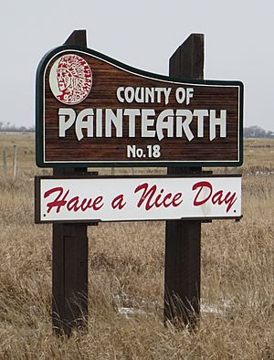
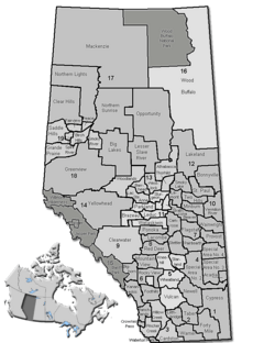
The County of Paintearth No. 18 is a special kind of area in east central Alberta, Canada. It is like a large district or region. Its main office is located southeast of the Town of Castor. This county is part of a larger area called Census Division No. 7.
Contents
How Paintearth County Started
The County of Paintearth No. 18 was first set up in 1944. Back then, it was known as the Municipal District of Paintearth No. 334. Later, in 1962, it officially became a county.
People Who Live Here
In 2016, about 2,102 people lived in the County of Paintearth No. 18. They lived in 638 homes. The county covers a large land area of about 3,283 square kilometers. This means there are not many people living in each square kilometer.
Towns and Places in the County
The County of Paintearth No. 18 surrounds some towns and villages. It also contains smaller communities called hamlets and other localities.
Urban Communities
These are bigger communities surrounded by the county:
- Towns
- Villages
Smaller Communities
These are smaller places located inside the county:
- Hamlets
- Localities
- Battle River
- Bulwark
- Cordel
- Federal
- Hamilton Lake
- Lure
- Puffer
- Silver Heights
- Sullivan Lake
- Talbot
- Throne
- Tinchebray
- Veldt


