Courallie County facts for kids
Quick facts for kids CourallieNew South Wales |
|||||||||||||||
|---|---|---|---|---|---|---|---|---|---|---|---|---|---|---|---|

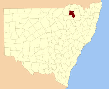
Location in New South Wales
|
|||||||||||||||
|
|||||||||||||||
Courallie County is one of the 141 special land areas in New South Wales, Australia. These areas are called cadastral divisions. Think of them like old-fashioned maps that help keep track of land ownership and boundaries.
The name Courallie is thought to come from a word used by the local Aboriginal people who lived there long ago.
What is Courallie County?
Courallie County is a type of land division used mainly for official records. It helps people understand where properties are located. These counties were created a long time ago to help manage land. They are not the same as the local government areas we have today.
Smaller Areas: Parishes
Just like a country is divided into states, and states into smaller regions, counties are also divided. Inside Courallie County, there are many smaller areas called parishes. These parishes are even smaller land divisions. They help make sure every piece of land has a clear location. Some of the parishes in Courallie County include Moree, Gurley, and Terry Hie Hie. Each parish has its own name and specific location within the county.
 | Lonnie Johnson |
 | Granville Woods |
 | Lewis Howard Latimer |
 | James West |

