Cross Lake (South Algonquin) facts for kids
Quick facts for kids Cross Lake |
|
|---|---|
| lac Cross | |
| Location | Nipissing District, Ontario |
| Coordinates | 45°23′48″N 77°56′36″W / 45.39667°N 77.94333°W |
| Part of | Saint Lawrence River drainage basin |
| Primary inflows | Four unnamed creeks |
| Primary outflows | Moore Creek |
| Basin countries | Canada |
| Max. length | 3.6 km (2.2 mi) |
| Max. width | 2.3 km (1.4 mi) |
| Surface elevation | 441 m (1,447 ft) |
| Settlements | Cross Lake |
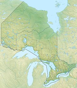
Cross Lake (also called lac Cross in French) is a beautiful lake located in Ontario, Canada. It's found in the Nipissing District, within the area of South Algonquin. This lake is about 12 kilometers (7.5 miles) south of a community called Madawaska. A road called Ontario Highway 523 runs just east of the lake. There's also a small settlement named Cross Lake located between the highway and the lake itself.
Contents
About Cross Lake
Cross Lake is a medium-sized lake in Ontario. It gets its name because it looks a bit like a cross from above. One part of the lake stretches from the northwest to the southeast. Another part goes from the west-southwest to the east-northeast.
Size and Location
Cross Lake is about 3.6 kilometers (2.2 miles) long. It is also about 2.3 kilometers (1.4 miles) wide. The lake sits at an elevation of 441 meters (1,447 feet) above sea level. This means it's quite high up!
How Water Flows Through Cross Lake
Cross Lake is part of a very large water system called the Saint Lawrence River drainage basin. A drainage basin is like a giant bowl where all the rain and melted snow eventually flow into one main river or lake. For Cross Lake, its water eventually makes its way to the St. Lawrence River.
Water Inflows
Water flows into Cross Lake from four different places. These are small streams that don't have official names. One stream enters the lake from the west. Another comes in from the south. A third stream flows into Cross Lake from a nearby body of water called Lyell Long Lake, located to the north. Finally, a fourth stream enters from the southeast, coming from Hawk Lake.
Water Outflows
The main way water leaves Cross Lake is through a stream called Moore Creek. This creek flows out from the southwest side of the lake. Moore Creek then carries the water towards McKenzie Lake. From McKenzie Lake, the water travels into the Madawaska River. The Madawaska River then joins the Ottawa River, and finally, the Ottawa River flows into the mighty St. Lawrence River. So, a drop of water from Cross Lake could travel a very long way!


