Cuney, Texas facts for kids
Quick facts for kids
Cuney, Texas
|
|
|---|---|

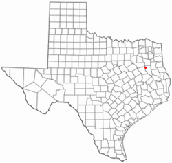
Location of Cuney, Texas
|
|
 |
|
| Country | United States |
| State | Texas |
| County | Cherokee |
| Area | |
| • Total | 1.64 sq mi (4.26 km2) |
| • Land | 1.64 sq mi (4.26 km2) |
| • Water | 0.00 sq mi (0.00 km2) |
| Elevation | 443 ft (135 m) |
| Population
(2020)
|
|
| • Total | 116 |
| • Density | 70.7/sq mi (27.23/km2) |
| Time zone | UTC-6 (Central (CST)) |
| • Summer (DST) | UTC-5 (CDT) |
| ZIP code |
75759
|
| Area code(s) | 430, 903 |
| FIPS code | 48-18152 |
| GNIS feature ID | 2412396 |
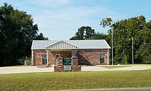
Cuney is a small town in Cherokee County, Texas, United States. It is located in the northwestern part of the county. In 2020, about 116 people lived there.
Contents
History of Cuney
How Cuney Started
Cuney was first settled by people who had been freed from slavery right after the American Civil War. This was around 1870. The first name for the settlement was Andy. It was named after Andrew "Andy" Bragg, who was one of the first Black homeowners in the area.
A real community didn't start until 1902. This was when a railroad, the Texas and New Orleans Railroad, added a "flag stop" here. A flag stop meant the train would only stop if someone waved a flag to get on, or if someone on the train wanted to get off.
Naming the Town
Around 1914, some investors decided to plan out a town. They named it Cuney. The town was named after Cuney Price, the son of one of the investors. Cuney Price himself was named after Norris Wright Cuney. Norris Wright Cuney was a very important Black politician and a leader of the Republican Party in Texas.
A post office opened in Cuney in 1917. By the early 1920s, many businesses were operating in the community.
Changes Over Time
In 1929, State Highway 40 (which later became U.S. Highway 175) was paved. Because of this new road, most businesses moved about a mile north of the railroad. This helped them get more customers from the highway traffic.
In 1929, about 100 people lived in Cuney. However, this number dropped to only 25 by the mid-1930s. After World War II, many businesses closed. More people moved to bigger cities to find jobs. By the early 1950s, Cuney had a population of 75.
The community slowly grew after that. In November 1983, Cuney officially became an incorporated town. This means it became its own legal town with its own local government. In 1990, 170 people lived in Cuney. By 2000, the population was 145.
Geography of Cuney
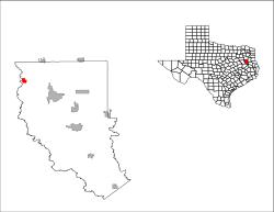
Cuney is located in northwestern Cherokee County. It's near where U.S. Highway 175 and FM 855 meet.
It is about 10 miles (16 km) northwest of Jacksonville. It's also about 24 miles (39 km) northwest of Rusk and 28 miles (45 km) southeast of Athens.
The town covers an area of about 1.64 square miles (4.26 square kilometers). All of this area is land. The Neches River forms the northwest border of the town. This river also marks the line between Cherokee County and Anderson County.
People in Cuney (Demographics)
The table below shows how the population of Cuney has changed over the years:
| Historical population | |||
|---|---|---|---|
| Census | Pop. | %± | |
| 1990 | 170 | — | |
| 2000 | 145 | −14.7% | |
| 2010 | 140 | −3.4% | |
| 2020 | 116 | −17.1% | |
| U.S. Decennial Census | |||
This table shows the different groups of people living in Cuney as of 2020:
| Race | Number | Percentage |
|---|---|---|
| White (NH) | 20 | 17.24% |
| Black or African American (NH) | 69 | 59.48% |
| Some Other Race (NH) | 1 | 0.86% |
| Mixed/Multi-Racial (NH) | 5 | 4.31% |
| Hispanic or Latino | 21 | 18.1% |
| Total | 116 |
In 2020, there were 116 people living in Cuney. There were 37 households and 31 families.
In 2000, there were 145 people in the town. There were 59 households and 36 families. About 27% of households had children under 18. The average household had 2.46 people.
Education in Cuney
For many years, Cuney had its own school. Today, students in Cuney go to schools in the Jacksonville Independent School District.
See also
 In Spanish: Cuney (Texas) para niños
 | Anna J. Cooper |
 | Mary McLeod Bethune |
 | Lillie Mae Bradford |


