Curryville, Sullivan County, Indiana facts for kids
Quick facts for kids
Curryville
|
|
|---|---|

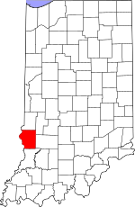
Sullivan County's location in Indiana
|
|
| Country | United States |
| State | Indiana |
| County | Sullivan |
| Township | Curry |
| Elevation | 531 ft (162 m) |
| Time zone | UTC-5 (Eastern (EST)) |
| • Summer (DST) | UTC-4 (EDT) |
| ZIP code |
47879
|
| Area code(s) | 812, 930 |
| GNIS feature ID | 433256 |
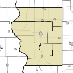
Curryville is a small place in Indiana, in the United States. It is known as an "unincorporated community." This means it is a group of homes and businesses that does not have its own local government. It is located in Curry Township, which is part of Sullivan County.
Curryville is also part of the larger Terre Haute area. This area is called a Metropolitan Statistical Area.
A Look Back: History of Curryville
Early Days
Curryville had its own post office a long time ago. It opened in 1840. People could send and receive mail there. But it closed down in 1861.
Coal Mining
Curryville was also important for mining. The very first underground coal mine in Sullivan County started here. It was on land owned by James Hanna. He was a judge on the Indiana Supreme Court. Coal mining helped the area grow.
Where is Curryville?
Curryville is located in Sullivan County, Indiana. Its exact spot on a map is at 39°11′13″N 87°23′33″W / 39.18694°N 87.39250°W. This is 39 degrees, 11 minutes, 13 seconds North and 87 degrees, 23 minutes, 33 seconds West.
 | Bayard Rustin |
 | Jeannette Carter |
 | Jeremiah A. Brown |


