Daisy Lake (Greater Sudbury) facts for kids
Quick facts for kids Daisy Lake |
|
|---|---|
| Location | Greater Sudbury, Ontario, Canada |
| Coordinates | 46°26′59″N 80°53′21″W / 46.44972°N 80.88917°W |
| Type | Lake |
| Primary inflows | Whitefish River |
| Max. length | 3.2 km (2.0 mi) |
| Max. width | 0.3 km (0.19 mi) |
| Surface elevation | 230 m (750 ft) |
Daisy Lake is a beautiful lake located in the city of Greater Sudbury, which is in northeastern Ontario, Canada. It's an important part of the Lake Huron drainage basin. This means that water from Daisy Lake eventually flows into Lake Huron. Daisy Lake is also the starting point for the Whitefish River.
Contents
Discovering Daisy Lake
Daisy Lake is about 3.2 kilometers (2 miles) long. It is also about 0.3 kilometers (0.2 miles) wide. The lake sits at an elevation of 230 meters (750 feet) above sea level.
Where is Daisy Lake Located?
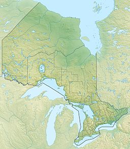
You can find Daisy Lake about 4 kilometers (2.5 miles) east of a community called McFarlane Lake. It is also very close to Ontario Highway 17, just 0.7 kilometers (0.4 miles) south of it.
Water Flow in Daisy Lake
Daisy Lake gets its water from one unnamed creek. The main river that flows out of Daisy Lake is the Whitefish River. This river then travels to the North Channel, which is part of Lake Huron.
Daisy Lake Uplands Provincial Park
Daisy Lake is special because it is home to the new Daisy Lake Uplands Provincial Park. This park helps protect the natural environment around the lake. It is a great place for nature lovers and those who enjoy the outdoors.


