Della Pia Glacier facts for kids
Quick facts for kids Della Pia Glacier |
|
|---|---|

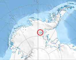
Location of Sentinel Range in Western Antarctica
|
|
| Location | Ellsworth Land |
| Coordinates | 78°34′S 85°03′W / 78.567°S 85.050°W |
| Length | 10 nautical miles (19 km; 12 mi) |
| Thickness | unknown |
| Terminus | Thomas Glacier |
| Status | unknown |
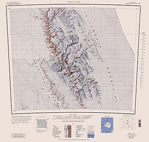
The Della Pia Glacier is a long river of ice found in the cold continent of Antarctica. It is located in a mountain range called the Sentinel Range, which is part of the Ellsworth Mountains. This glacier flows down the eastern side of a large mountain area known as Craddock Massif.
As it moves, Della Pia Glacier passes between two peaks, Mount Mohl and Elfring Peak. Eventually, it joins another glacier called Thomas Glacier. This icy river is about 10 nautical miles (18.5 kilometers) long.
How Della Pia Glacier Got Its Name
Glaciers and other places in Antarctica are often named to honor people or groups. The Della Pia Glacier was named in 2006. This naming was done by a group called the Advisory Committee on Antarctic Names (US-ACAN). This committee helps decide the names for features in Antarctica.
The glacier was named after Colonel Max Della Pia. He was a commander of the 109th Airlift Wing. This is a special part of the New York Air National Guard. From 1999 to 2006, Colonel Della Pia's team provided important support. They helped with supplies and travel for the U.S. Antarctic Program. This program does scientific research in Antarctica.
 | Bayard Rustin |
 | Jeannette Carter |
 | Jeremiah A. Brown |


