Dreahook, New Jersey facts for kids
Quick facts for kids
Dreahook, New Jersey
|
|
|---|---|
 |
|
| Country | |
| State | |
| County | Hunterdon |
| Township | Readington |
| Elevation | 230 ft (70 m) |
| GNIS feature ID | 875970 |
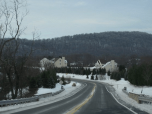
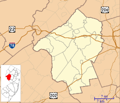
Dreahook is a small place in Readington Township, Hunterdon County, New Jersey. It's known as an "unincorporated community." This means it's a group of homes and businesses that aren't officially a town or city with its own local government. Instead, it's part of a larger area called a township. You can find Dreahook where two roads, CR-620 (Dreahook Road) and CR 523, meet.
The Story Behind the Name
The name "Dreahook" might sound a bit unusual! It comes from an old Dutch word, "Driehoek." In Dutch, "drie" means three, and "hoek" means corner. So, "Driehoek" means "triangle."
This name probably came about because of how the early roads were laid out. The settlement of Dreahook formed a triangle with the roads leading to nearby places like Flemington, Whitehouse Station, Readington Village, and Pleasant Run. Even though these roads have changed over time, the name stuck!
Life in Old Dreahook
Long ago, Dreahook was a busy little village. It had important places that people needed every day. There was a blacksmith shop where metal items were made and repaired. There was also a school, so children could learn right in their community. A general store provided goods and supplies for everyone.
Farming the Land
People settled in Dreahook because the soil was very rich. This made it a great place for farming. The land near the base of Cushetunk Mountain was especially good for growing crops. Even today, you can still see many farms in the area. One interesting farm nearby is the Readington River Buffalo Farm, located between Dreahook and Stanton.
Local Waterways
Two streams, Dreahook Creek and Holland Brook, flow through the Dreahook area. These waterways are important parts of the local environment.


