
Espinosa, Vega Alta, Puerto Rico facts for kids
Quick facts for kids
Espinosa
|
|
|---|---|
|
Barrio
|
|

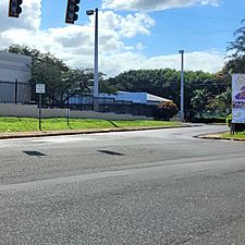
Puerto Rico Highway 22 in Espinosa barrio
|
|

Location of Espinosa within the municipality of Vega Alta shown in red
|
|

Espinosa, Vega Alta, Puerto Rico
Location in Caribbean
|
|
| Commonwealth | |
| Municipality | |
| Area | |
| • Total | 4.41 sq mi (11.4 km2) |
| • Land | 4.41 sq mi (11.4 km2) |
| • Water | 0 sq mi (0 km2) |
| Elevation | 151 ft (46 m) |
| Population
(2010)
|
|
| • Total | 11,706 |
| • Density | 2,654.4/sq mi (1,024.9/km2) |
| Source: 2010 Census | |
| Time zone | UTC−4 (AST) |
Espinosa is a lively neighborhood, also known as a barrio, located in the sunny municipality of Vega Alta, Puerto Rico. In 2010, about 11,706 people called Espinosa home. It's a part of Puerto Rico, which is a commonwealth of the United States.
A Glimpse into Espinosa's Past
Espinosa has an interesting history! Long ago, after the Spanish–American War in 1898, Spain gave Puerto Rico to the United States. This happened because of an agreement called the Treaty of Paris of 1898. Because of this, Puerto Rico became an unincorporated territory of the United States. This means it's a special area connected to the U.S. but not a state.
In 1899, the United States Department of War took a count of all the people in Puerto Rico. This count is called a census. The census found that 781 people lived in Espinosa barrio at that time. Over the years, the population of Espinosa has changed quite a bit, as you can see in the chart below.
| Historical population | |||
|---|---|---|---|
| Census | Pop. | %± | |
| 1900 | 781 | — | |
| 1910 | 1,063 | 36.1% | |
| 1920 | 1,282 | 20.6% | |
| 1930 | 1,651 | 28.8% | |
| 1940 | 1,978 | 19.8% | |
| 1950 | 2,752 | 39.1% | |
| 1960 | 3,071 | 11.6% | |
| 1980 | 8,619 | — | |
| 1990 | 12,207 | 41.6% | |
| 2000 | 12,613 | 3.3% | |
| 2010 | 11,706 | −7.2% | |
| U.S. Decennial Census 1899 (shown as 1900) 1910-1930 1930-1950 1960 1980-2000 2010 |
|||
Pictures of Espinosa
-
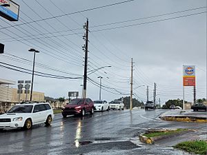
Puerto Rico Highway 676 in Espinosa
-
Puerto Rico Highway 694 in Espinosa
.jpg)

Want to Learn More?
 In Spanish: Espinosa (Vega Alta) para niños
- List of communities in Puerto Rico
