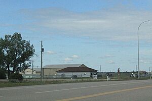
Fort Kent, Alberta facts for kids
Quick facts for kids
Fort Kent
|
|
|---|---|
 |
|
| Country | Canada |
| Province | Alberta |
| Region | Northern Alberta |
| Census division | 12 |
| Municipal district | Municipal District of Bonnyville No. 87 |
| Government | |
| • Type | Unincorporated |
| Area
(2021)
|
|
| • Land | 0.64 km2 (0.25 sq mi) |
| Population
(2021)
|
|
| • Total | 254 |
| • Density | 396.8/km2 (1,028/sq mi) |
| Time zone | UTC−07:00 (MST) |
| • Summer (DST) | UTC−06:00 (MDT) |
| Area code(s) | 780, 587, 825 |
Fort Kent is a small community called a hamlet in central Alberta, Canada. It is part of the Municipal District of Bonnyville No. 87. You can find Fort Kent on Highway 28. It is about 32 kilometers (20 miles) southwest of a larger town called Cold Lake.
Who Lives in Fort Kent?
Let's look at how many people live in Fort Kent! In 2021, Statistics Canada counted 254 people living here. These people lived in 97 homes. This number was a little less than in 2016. Back then, 261 people lived in Fort Kent.
Fort Kent covers a small area of land, about 0.64 square kilometers (0.25 square miles). This means that in 2021, there were about 397 people living in each square kilometer.
A few years earlier, in 2016, Fort Kent had 191 residents. They lived in 79 homes. This was also a change from 2011, when 220 people lived here. The land area was smaller then, about 0.34 square kilometers (0.13 square miles).
 | Emma Amos |
 | Edward Mitchell Bannister |
 | Larry D. Alexander |
 | Ernie Barnes |


