Fra Cristobal Range facts for kids
Quick facts for kids Fra Cristobal Range |
|
|---|---|
| Highest point | |
| Elevation | 6,834 ft (2,083 m) |
| Dimensions | |
| Length | 17 mi (27 km) N-S |
| Width | 6 mi (9.7 km) |
| Geography | |
| Country | United States |
| Settlement | Crocker |
| Range coordinates | 33°19′24″N 107°05′30″W / 33.32333°N 107.09167°W |
| Topo map | Crocker, Engle, Lava USGS quads |
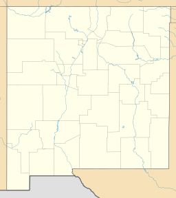
The Fra Cristobal Range is a mountain range in New Mexico, USA. It is about 17 miles (27 km) long. This range is located in central-north Sierra County. Its northern part reaches into Socorro County.
The Fra Cristobal Range sits next to the eastern side of Elephant Butte Reservoir. This reservoir is part of the Rio Grande river. To the southwest, you'll find the Jornada del Muerto. This is a desert area located east of the river.
About the Fra Cristobal Range
The Fra Cristobal Range is a dry, medium-height mountain range. It runs from north to south. The range is about 17 miles long. It is also quite narrow, only about 7 miles wide at its widest point.
A hill called Crater Hill is on the western side. It is about 5,087 feet (1,551 meters) high. This hill is north of Black Bluffs and Red Cliff, which are near the reservoir.
Fra Cristobal Mountain
The highest point in the northern part of the range is Fra Cristobal Mountain. This mountain gives the whole range its name. It stands at about 5,932 feet (1,808 meters) tall.
People say the mountain looks like the profile of a priest. This priest was named Fray Cristóbal de Salazar. He was a cousin of Juan de Oñate. Fray Cristóbal was part of the first group of Spanish settlers in 1598.
See also
In Spanish: Sierra de Fray Cristóbal para niños
 | Emma Amos |
 | Edward Mitchell Bannister |
 | Larry D. Alexander |
 | Ernie Barnes |


