Greer, Idaho facts for kids
Quick facts for kids
Greer, Idaho
|
|
|---|---|
| Country | United States |
| State | Idaho |
| County | Clearwater |
| Elevation | 1,102 ft (336 m) |
| Time zone | UTC-8 (Pacific (PST)) |
| • Summer (DST) | UTC-7 (PDT) |
| Area code(s) | 208, 986 |
| GNIS feature ID | 396591 |
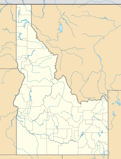
Greer is a small, unincorporated community located in Clearwater County, Idaho. Being "unincorporated" means it's not a city or town with its own local government. Instead, it's a group of homes and businesses that are part of the larger county. Greer is found on the Nez Perce Indian Reservation.
This community is nestled right along the beautiful Clearwater River. It's also located near Idaho State Highway 11. This highway is close to the junction with U.S. Route 12, which is also known as the Northwest Passage Scenic Byway. Greer is about 7 miles southeast of a town called Orofino.
Contents
History of Greer and the Area
Greer and its surrounding area have an interesting past. The winding Highway 11 climbs over 2,000 feet in elevation up a canyon. This road leads to the Weippe Prairie. This prairie is a very important historical spot.
Lewis and Clark Expedition
In September 1805, the famous Lewis and Clark Expedition first met the Nez Perce here. The expedition members were very hungry at the time. This meeting happened south of the present-day town of Weippe. It was a significant moment in American history.
Past Communities in the Area
There was once another unincorporated community nearby called Fraser. It was located about 3 miles west of Greer. Over time, communities can change or even disappear.
Population in the Past
In 1960, the population of Greer was recorded as 70 people. This gives us a small glimpse into how many people lived in the community at that time.


