General Sibley Park facts for kids
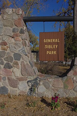
General Sibley Park is a popular park located about 4 miles (6 km) south of Bismarck, North Dakota. It opened in 1967 and is named after General Henry Sibley. The park covers about 138 acres (56 ha) of land. It's a great spot for outdoor fun and camping.
Park History: A Look Back
The land where General Sibley Park is today was once called Burnt Boat Island. This name came from a steamboat called The Assiniboine. It got stuck and burned down here in the early 1830s.
Even though it's not an island anymore, you can still see signs of the old Missouri River channel. These signs are along the northern edge of the park.
In 1862, there were conflicts between the Dakota people and settlers in Minnesota. This led to military actions by the U.S. government. General Sibley and General Alfred Sully led troops to the area.
On July 29, 1863, there was a battle near the Missouri River. It involved Dakota and Lakota groups and Sibley’s troops. Both sides had losses. Sibley's troops then returned to Minnesota. Sully's troops stayed longer in the Dakota Territory. They continued to engage with Native American groups.
These events were part of the Sioux Wars. They led to many changes and challenges for Native American tribes. They faced displacement and ongoing conflicts with the U.S. government.
How the Park Was Created
Before it became a public park, this 138-acre area was used by the Girl Scouts and Boy Scouts. They used it for activities and training. Many groups wanted to see it become a formal recreation spot.
The Izaak Walton League, Burleigh County, and the City of Bismarck strongly supported the idea. The park officially opened to the public on May 26, 1967.
The U.S. Army Corps also helped develop the area. They still own the land. However, the Bismarck Parks and Recreation District manages the park today.
General Sibley Park Today
General Sibley Park is also known as General Sibley Park and Campground. It offers many things for visitors to enjoy. There are 114 spots for RVs and a separate area for tent camping. The park also has two shower houses.
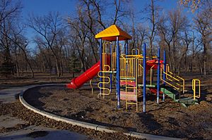
For day visitors, there are two picnic shelters and a volleyball court. Kids can have fun on the children's playground. There is also a 24-hole frisbee disc golf course. A boat dock is available at the park's south-east corner.
About 100,000 people visit the park each year. Most visitors live close by, within 20 miles (32 km) of the park. But it also welcomes visitors from other states and Canada.
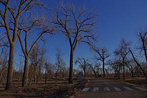
The park has many trees. Most of them are green ash trees. You can also find some cottonwood and boxelder trees.
In May 2011, the Missouri River flooded the park. The water reached its highest level on July 1, 2011. After the flood, experts checked the park for damage. They found that over 1,200 trees had fallen or were partly uprooted.
The report suggested planting different kinds of trees in the future. This would help protect the park if there were another flood or if insects or diseases spread. The campgrounds were closed for the rest of that season for cleanup. By November 2011, most of the damaged trees had been removed.
 | Calvin Brent |
 | Walter T. Bailey |
 | Martha Cassell Thompson |
 | Alberta Jeannette Cassell |


