Great Whale River facts for kids
Quick facts for kids Great Whale River |
|
|---|---|
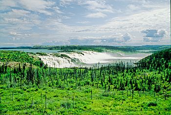
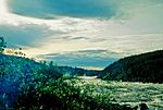
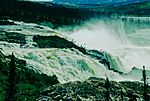
The first step of the GB1 falls of Great Whale River, Summer 1992
|
|
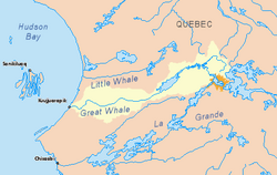
Great Whale River basin in yellow
|
|
| Native name | Kuujjuaraapiup Kuunga and Abchigamiche River |
| Other name(s) | Grande rivière de la Baleine |
| Country | Canada |
| Province | Quebec |
| Region | Nunavik |
| Physical characteristics | |
| Main source | Lake Saint-Luson 500 m (1,600 ft) 54°49′30″N 70°32′17″W / 54.82500°N 70.53806°W |
| River mouth | Hudson Bay Kuujjuarapik / Whapmagoostui 0 m (0 ft) 55°15′59″N 77°47′23″W / 55.26639°N 77.78972°W |
| Length | 724 km (450 mi) |
| Basin features | |
| Basin size | 42,700 km2 (16,500 sq mi) |
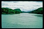
The Great Whale River is a long river in Nunavik, Quebec, Canada. It starts from Lac Saint-Luson and flows west into Hudson Bay. Its French name is Grande rivière de la Baleine.
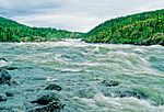
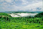
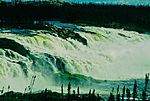
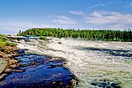
The lower part of the river, after Lac Bienville, has a very strong current. You can find many waterfalls there, some as tall as 20 metres (66 ft). There are also many exciting rapids. The upper part of the river is different. It has a series of lakes connected by steep rapids and rocky ledges.
A part of the Great Whale River also comes from the Caniapiscau Reservoir. This branch is often used by canoeists because it's easy to reach from the Trans-Taiga Road.
Two villages are located at the mouth of the river. These are Kuujjuarapik, where most people are Inuit, and Whapmagoostui, a Cree village. These villages used to be known together as "Great Whale River" or "Poste-de-la-Baleine."
History of the Great Whale River
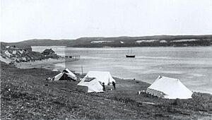
The Great Whale River was a very important place for the Cree and Inuit people. They hunted beluga whales here long before Europeans arrived. Even though both groups moved around, the mouth of the river was a common meeting and camping spot. It also acted as an unofficial border between their lands.
The name "Great Whale River" was first written down in 1744. This was in the logbooks of Thomas Mitchell and John Longland, who worked for the Hudson's Bay Company. They were exploring the coast of Hudson Bay. The name likely came from the Cree word Whapmagoostui, which means "River of the Whale." This name refers to the hunting of white whales, or belugas, in the area.
In the early 1970s, a power company called Hydro-Québec planned to build three hydroelectric power stations on the Great Whale River. This was part of a much larger plan called the James Bay Project. Even though detailed plans for this specific project started in 1986, many groups were against it.
The Cree and Inuit people, along with environmental groups like Greenpeace and the Friends of the Earth, spoke out against the project. Because of this strong opposition, the leader of Quebec, Jacques Parizeau, announced in 1994 that the project was stopped for good. However, there is always a chance that the project could be considered again in the future.
Lakes of the Upper River
The upper part of the Great Whale River connects many lakes. Here are some of them:
- Lac Saint-Luson
- Lac Girauday
- Lac Lamberville
- Lac Gournay
- Lac Prieur
- Lac Cognac
- Lac Roman
- Lac Poncy
- Lac Molleville
- Lac Chastenay
- Lac Turreau
- Lac Naudin
- Lac Raguideau
- Lac Bourgtalon
- Lac Bouvante
- Lac Novereau
- Lac Decoigne
- Lac Jacquemont
- Lac Delaroche
- Lac Sanchagrin
- Lac Danneville
- Lac Sablons
- Lac Maravat
- Lac Ducasse
- Lac Laurac
- Lac Chastenet
- Lac Magne
- Lac Maurel
- Lac Louet
- Lac Wasatimis
- Lac Bienville
- Lac Paimpoint
Gallery
See also
 In Spanish: Grande rivière de la Baleine para niños
 | Charles R. Drew |
 | Benjamin Banneker |
 | Jane C. Wright |
 | Roger Arliner Young |


