Hamersley Range facts for kids
Quick facts for kids Hamersley Range |
|
|---|---|
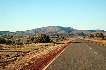
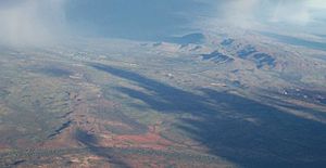
Outside the town of Paraburdoo, showing part of the Hamersley Range in the background
|
|
| Highest point | |
| Peak | Mount Meharry |
| Elevation | 1,249 m (4,098 ft) |
| Geography | |
| Country | Australia |
| State | Western Australia |
| Region | Pilbara |
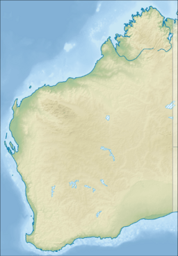
| Range coordinates | 21°53′S 116°46′E / 21.883°S 116.767°E |
The Hamersley Range is a mountain area in the Pilbara region of Western Australia. An explorer named Francis Thomas Gregory gave the range its name on June 12, 1861. He named it after Edward Hamersley, who helped fund his trip to the northwest. Karijini National Park is located within this mountain range.
Contents
History of the Hamersley Range
The traditional Aboriginal people who have lived in this area for a very long time are the Puutu Kunti Kurrama and Pinikura peoples.
In 1999, a smaller part of the Hamersley Range was named the Hancock Range. This was done to honor the Hancock family, who were important pioneers in the area. The Hancock Range is found east of Karijini National Park. It has wide valleys and peaks that reach almost 1,200 meters (3,937 feet) high. The Hancock Range is also near Mulga Downs Station, a property owned by the Hancock family.
Geography of the Hamersley Range
The Hamersley Range stretches about 460 kilometers (286 miles) from the Fortescue River in the northeast, going south. It includes Mount Meharry, which is the highest point in Western Australia. Mount Meharry is about 1,249 meters (4,098 feet) above sea level.
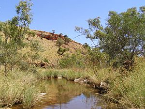
The range has many deep, eroded valleys called gorges. One well-known gorge is Wittenoom Gorge. In fact, the twenty highest peaks in all of Western Australia are found in the Hamersley Range. Other important peaks include Mount Bruce (1,234 meters or 4,049 feet) and Mount Nameless/Jarndunmunha (1,115 meters or 3,658 feet).
Karijini National Park is one of Australia's largest national parks. It is located right in the middle of the Hamersley Range.
Mining in the Hamersley Range
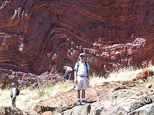
The Hamersley Range holds huge amounts of iron ore. Iron ore is a rock from which we get iron, which is used to make steel. A large part of Australia's iron ore exports comes from this area. The iron ore is mostly found in special rock layers called banded iron formation.
Major mining companies in Western Australia have mines, towns, and railways built along the range. For example, Rio Tinto runs several iron ore mines here. These include Mount Tom Price, Marandoo, Brockman, and Paraburdoo. More than 100 million tonnes of iron ore are taken from the range every year.
A type of mineral called crocidolite (also known as blue asbestos) was found in the Hamersley Range in 1915. It was mined in Wittenoom starting in the 1930s. However, mining stopped in 1966 because it was no longer profitable. Wittenoom was the only town in Australia where blue asbestos was mined.
Juukan Gorge and Ancient Sites
Juukan Gorge is about 60 kilometers (37 miles) from Mount Tom Price. It was home to a very old cave, which was one of the oldest sites in the western Pilbara region. This cave was special because it showed signs that people had lived there continuously, even during the Ice Age.
Sadly, this important cave was destroyed by the mining company Rio Tinto on May 23, 2020. Another Aboriginal sacred site was also destroyed at the same time. This happened as part of the company's plan to expand their Brockman 4 mine.
See also
 In Spanish: Cordillera Hamersley para niños
 | Valerie Thomas |
 | Frederick McKinley Jones |
 | George Edward Alcorn Jr. |
 | Thomas Mensah |


