High Peak Trail facts for kids
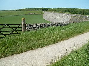
The High Peak Trail is a fantastic path in the Peak District of England. It's about 17 miles (27 km) long. This trail is perfect for walking, cycling, and horse riding. It follows the old railway line that used to carry minerals and goods. The trail starts near Buxton at Dowlow and ends at High Peak Junction in Cromford.
From Railway to Trail
The High Peak Trail was once part of the Cromford and High Peak Railway. This railway was finished in 1831. It was built to move minerals and goods. The trains carried items between the Cromford Canal and the Peak Forest Canal.
The railway line closed down in stages. The first part closed in 1963. The whole line was fully closed by 1967.
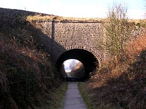
In 1971, a big part of the old railway line was bought. The Peak Park Planning Board and Derbyshire County Council worked together. They turned the old railway into the trail we see today. It's now used for fun activities like walking and cycling.
Enjoying the Trail
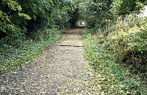
The High Peak Trail has a surface made of crushed limestone. This makes it smooth and easy to use. It's great for everyone, including people using wheelchairs. You can get onto the trail easily at many points.
The trail is also part of the National Cycle Network. This means it's a recognized route for cyclists across the country.
The trail goes quite high up in places. The highest point is at Ladmanlow, which is about 1266 feet (386 meters) high. From these high spots, you can see amazing views of the countryside. However, these higher sections can be windy and exposed in bad weather.
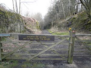
The original railway had some steep parts called inclines. While most of the trail is fairly flat, these sections are still steeper.
Connecting Trails
At Parsley Hay, the High Peak Trail meets another popular path. This is the Tissington Trail, which is about 13 miles (21 km) long. The Tissington Trail was also an old railway line. Parsley Hay is about 5 miles (8 km) southwest of Bakewell.
The High Peak Trail also crosses other long-distance routes. It crosses the Limestone Way near Harboro' Rocks.
Part of the High Peak Trail is also part of the Pennine Bridleway. This is a long route for horse riders, cyclists, and walkers. It's about 130 miles (209 km) long. The Pennine Bridleway starts near Cromford.
The trail is also part of the Midshires Way. This is a very long path, about 225 miles (362 km) long. It runs through the Midlands of England.
The High Peak Trail is also a section of the White Peak Loop Trail. This loop is about 60 miles (97 km) long. It's for walking, cycling, and horse riding in the Peak District. It connects the High Peak Trail with the Monsal Trail. It also links to towns like Buxton, Bakewell, and Matlock. Some parts of the White Peak Loop are still being built.
Places to Stop and Rest
There are several places along the trail where you can stop. These spots offer parking, toilets, and other helpful facilities.
- At Hurdlow, you'll find parking and easy access to the trail. There are also picnic tables.
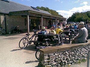
- At Parsley Hay, where the Tissington Trail joins, there's a car park right next to the trail. You can find toilets, a picnic area, visitor information, and even hire bikes here.
- At Friden, there's a car park with easy access to the trail and a picnic table.
- At Minninglow, you can find a car park and a picnic site. It has easy access to the trail.
- At Middleton Top, there's a visitor centre. It has a car park, toilets, and you can hire bikes.
- At Black Rocks, there's a car park, toilets, and a shop for snacks.
- At High Peak Junction, you'll find a Visitor Centre and a shop. You can buy light refreshments and use the picnic tables outside. There's also a car park across the river, reached by a footbridge.
- The National Stone Centre, Wirksworth, is also nearby.
 | May Edward Chinn |
 | Rebecca Cole |
 | Alexa Canady |
 | Dorothy Lavinia Brown |


