Hinesburg (CDP), Vermont facts for kids
Quick facts for kids
Hinesburg, Vermont
|
|
|---|---|
| Country | United States |
| State | Vermont |
| County | Chittenden |
| Town | Hinesburg |
| Area | |
| • Total | 1.246 sq mi (3.226 km2) |
| • Land | 1.244 sq mi (3.222 km2) |
| • Water | 0.002 sq mi (0.004 km2) |
| Elevation | 340 ft (100 m) |
| Population
(2020)
|
872 |
| Time zone | UTC-5 (Eastern (EST)) |
| • Summer (DST) | UTC-4 (EDT) |
| ZIP Code |
05461
|
| Area code(s) | 802 |
| FIPS code | 50-33400 |
| GNIS feature ID | 2586640 |
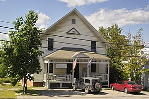
Hinesburg is a small village in the state of Vermont, United States. It is the main village within the larger town of Hinesburg. This village is also known as a census-designated place (CDP). A CDP is a special area that the U.S. Census Bureau defines for gathering population data.
Hinesburg village is located in Chittenden County. In 2020, about 872 people lived in the village. The entire town of Hinesburg had a population of 4,698 people at that time.
Where is Hinesburg Village?
The village of Hinesburg is found in the southern part of Chittenden County. It sits slightly northwest of the center of the larger town of Hinesburg.
This village is in the valley of the La Platte River. This river flows northwest and eventually reaches Lake Champlain. Lake Champlain is a large freshwater lake located between Vermont and New York.
Roads and Travel
Vermont Route 116 is an important road that goes through Hinesburg village. This route helps people travel to other nearby places.
If you head north on Route 116, you can reach South Burlington. This trip is about 10 miles (16 kilometers). If you travel south on Route 116, you will get to Bristol. This journey is about 17 miles (27 kilometers).
See also
 In Spanish: Hinesburg (condado de Chittenden) para niños


