
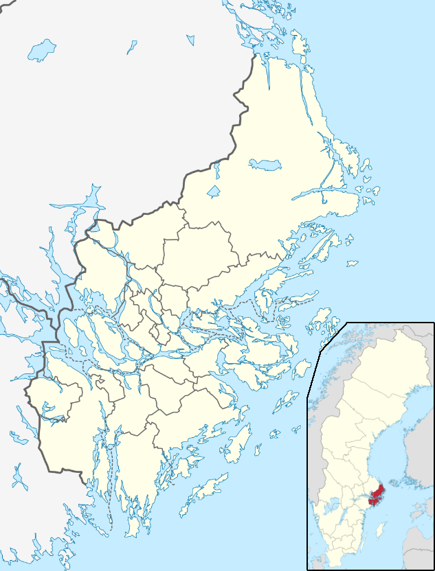
Image: Location map Sweden Stockholm County
Size of this preview: 456 × 599 pixels. Other resolutions: 182 × 240 pixels | 633 × 832 pixels.
Original image (633 × 832 pixels, file size: 267 KB, MIME type: image/png)
Description: Stockholm County map for pin
Title: Location map Sweden Stockholm County
Credit: by TUBS, Erik Frohne, and Own work
Author: Penyulap
Usage Terms: Creative Commons Attribution-Share Alike 3.0
License: CC BY-SA 3.0
License Link: https://creativecommons.org/licenses/by-sa/3.0
Attribution Required?: Yes
Image usage
The following 26 pages link to this image:
- Brottby
- Dalarö
- Fisksätra
- Grisslehamn
- Gustavsberg, Värmdö Municipality
- Hagbyhöjden
- Hallstavik
- Håbo-Tibble kyrkby
- Järna, Södertälje Municipality
- Kil, Nacka Municipality
- Kummelnäs
- Lidatorp and Klövsta
- Nacka
- Norrtälje
- Nynäshamn
- Rimbo
- Saltsjöbaden
- Sorunda
- Spillersboda
- Stora Vika
- Vidja
- Västerhaninge
- Älta
- Åkersberga
- Ösmo
- Östhamra

All content from Kiddle encyclopedia articles (including the article images and facts) can be freely used under Attribution-ShareAlike license, unless stated otherwise.