
Image: Málaga-loc

Size of this PNG preview of this SVG file: 512 × 343 pixels. Other resolution: 320 × 214 pixels.
Original image (SVG file, nominally 512 × 343 pixels, file size: 308 KB)
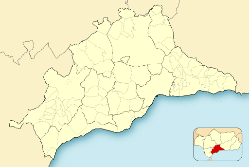
Description: Location map of Málaga
Title: Málaga-loc
Credit: Own work based on: Spain location map.svg by HansenBCN
Author: Miguillen
Usage Terms: Creative Commons Attribution-Share Alike 4.0
License: CC BY-SA 4.0
License Link: https://creativecommons.org/licenses/by-sa/4.0
Attribution Required?: Yes
Image usage
The following 29 pages link to this image:
- Alameda, Andalusia
- Almargen
- Antequera
- Archidona
- Benahavís
- Bobadilla, Antequera
- Canillas de Aceituno
- Cartaojal
- Casabermeja
- Casares, Málaga
- Cañete la Real
- Cerro del Villar
- Coín
- Cuevas Bajas
- Cuevas de San Marcos
- Estepona
- Frigiliana
- Fuente de Piedra
- Humilladero
- Istán
- Macharaviaya
- Mollina
- Montecorto
- Montes de Málaga
- Nerja
- Ronda
- Serrato
- Villanueva de la Concepción
- Vélez-Málaga

All content from Kiddle encyclopedia articles (including the article images and facts) can be freely used under Attribution-ShareAlike license, unless stated otherwise.