Kittanning Run facts for kids

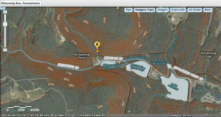
The Kittanning Run is a stream in Pennsylvania. It flows from the Allegheny Plateau and carves a steep valley. This valley is one of the many "gaps of the Allegheny." For hundreds of years, Native American people used these gaps as paths to travel from east to west. They helped people cross the Allegheny Front, which is a high ridge that separates the flat plateau from other ridges in Central Pennsylvania.
The Kittanning Path likely followed the Kittanning Run. This path connected Native American communities west of the Alleghenies, like Kittanning Village, with larger settlements in the Susquehanna Valley to the east. Later, settlers might have used a different part of the trail through Kittanning Gap. This route might have been easier for their carts and Conestoga wagons to climb up to the plateau.
Building a railroad through these mountains was a big challenge. The Pennsylvania Canal System had already built the Allegheny Portage Railroad. In 1845, a new railroad line was planned to cross the Allegheny Mountains. This led to the creation of the unique Horseshoe Curve in 1854. It was once known as the busiest railway in the world and is now a National Historic Landmark.
History of the Kittanning Gap
In the 1700s, the Kittanning Path went through the gap. This path was an important route between central and western Pennsylvania for both Native Americans and early European settlers.
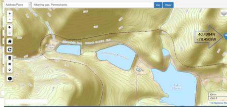
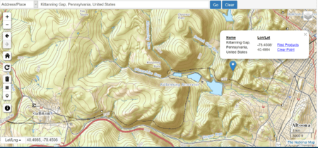
It's interesting to think about why the gap is to the left of Kittanning Run. Looking at the land, it seems that for people traveling on foot or with carts in the 16th to 19th centuries, turning right into the gap would have offered a gentler climb. This might have made it the preferred way to get up onto the flat land above, rather than trying to climb along the bigger streams.
 | Leon Lynch |
 | Milton P. Webster |
 | Ferdinand Smith |


