Koolatong River facts for kids
Quick facts for kids Koolatong |
|
|---|---|
|
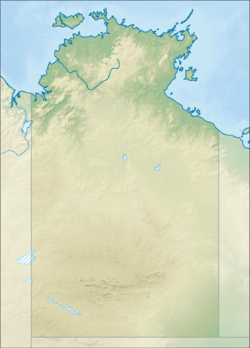
Location of the Koolatong River mouth in the Northern Territory
|
|
| Country | Australia |
| Territory | Northern Territory |
| Physical characteristics | |
| Main source | Mitchell Ranges Arnhem Land, Australia |
| River mouth | Australia 0 m (0 ft) 13°12′37″S 135°55′26″E / 13.21028°S 135.92389°E |
| Length | 92 km (57 mi) |
| Basin features | |
| Basin size | 7,913 km2 (3,055 sq mi) |
The Koolatong River is a river found in the Northern Territory of Australia. It is an important waterway in the remote Arnhem Land region. This river flows through mostly untouched areas before reaching the sea.
Contents
River Journey
The Koolatong River begins its journey in the Mitchell Ranges. These ranges are part of the beautiful and rugged Arnhem Land. From its source, the river first flows towards the north.
Path to the Sea
After flowing north, the Koolatong River turns east. It then travels across wide, flat plains that are mostly uninhabited. This means very few people live there. Finally, the river reaches the coast. It empties its waters into the Saint Nicholas Inlet and Blue Mud Bay. From there, its waters join the larger Gulf of Carpentaria.
River Size and Area
The Koolatong River is about 92 kilometers (57 miles) long. It is not one of Australia's longest rivers, but it plays a key role in its local environment.
Catchment Area
The area of land that collects rainwater and feeds it into the Koolatong River is called its catchment. This catchment covers a large space of about 7,913 square kilometers (3,055 square miles).
Neighboring Rivers
The Koolatong River's catchment is located between other river systems. To the north, you'll find the Buckingham River catchment. To the south, there is the Walker River catchment. And to the west, the Goyder River catchment is located.
Water Flow
On average, the Koolatong River sends about 800 gigaliters (211 billion US gallons) of water into the sea each year. This is a huge amount of water! It shows how much rain falls in its catchment area.
Estuary and Environment
The place where the Koolatong River meets the sea is called its estuary. This area is very special because it is in a nearly perfect, natural condition. It has not been greatly changed by human activities.
Estuary Features
The estuary itself covers about 23.7 hectares (58.6 acres) of open water. It is mostly shaped by the river's flow. However, the tides also play a part, creating a delta with a single main channel.
Mangrove Forests
Around the estuary, there is a large area of about 51.3 hectares (126.8 acres) covered with mangrove trees. Mangroves are unique trees that grow in salty coastal waters. They are very important for the environment. They provide homes for many types of fish, crabs, and birds. They also help protect the coastline from erosion.
Traditional Owners
The land around the Koolatong River has been home to Aboriginal peoples for thousands of years. The traditional owners of this area are the Murngin people, who are also known as the Yolngu peoples. They have a deep connection to the land and its waterways. They have cared for this country and its resources for a very long time.
 | Aaron Henry |
 | T. R. M. Howard |
 | Jesse Jackson |


