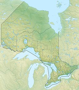
Quick facts for kids Lake George |
|
|
| Location |
Algoma District, Ontario, Canada |
| Coordinates |
46°24′23″N 84°07′11″W / 46.40639°N 84.11972°W / 46.40639; -84.11972 |
| Type |
Lake |
| Part of |
Great Lakes Basin |
| Primary inflows |
St. Marys River |
|
| Max. length |
16 km (9.9 mi) |
| Max. width |
7 km (4.3 mi) |
| Surface elevation |
176 m (577 ft) |
Lake George is a beautiful lake that sits right on the border between two countries! Part of it is in Michigan, United States, and the other part is in Algoma District, Ontario, Canada. It's located between Sugar Island (in Michigan) on its west side and the main land of Ontario on its east side.
This lake is an important part of the larger Great Lakes Basin. It's also connected to Lake Huron and the St. Marys River. Water flows into Lake George mainly from the St. Marys River, which comes from Little Lake George in the north. The water then flows out through the East Neebish Channel, heading towards the St. Joseph Channel in the south.
Rivers Flowing Into Lake George
Rivers and streams that flow into a larger lake or river are called tributaries. These smaller waterways bring fresh water into Lake George. Here are some of the rivers that feed into Lake George, listed as you would find them if you were traveling clockwise around the lake from its outflow point:
Tributaries in Michigan
- Rock Bottom Creek (on the right side as you go clockwise)
- Wilmar Creek (also on the right side)
Tributaries in Ontario
- Bar River (on the left side as you go clockwise)
- Echo River (also on the left side)


