Leota, Minnesota facts for kids
Quick facts for kids
Leota
|
|
|---|---|

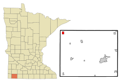
Location of Leota in Nobles County and Minnesota
|
|
| Country | United States |
| State | Minnesota |
| County | Nobles |
| Area | |
| • Total | 1.52 sq mi (3.93 km2) |
| • Land | 1.52 sq mi (3.93 km2) |
| • Water | 0.00 sq mi (0.00 km2) |
| Elevation | 1,703 ft (519 m) |
| Population
(2020)
|
|
| • Total | 202 |
| • Density | 133.07/sq mi (51.37/km2) |
| Time zone | UTC-6 (Central (CST)) |
| • Summer (DST) | UTC-5 (CDT) |
| ZIP code |
56153
|
| Area code(s) | 507 |
| FIPS code | 27-36548 |
| GNIS feature ID | 2393098 |
Leota is a small community in Nobles County, Minnesota, United States. It's known as a census-designated place (CDP). This means it's a populated area that looks like a town but doesn't have its own local government. In 2020, about 202 people lived there.
Geography of Leota
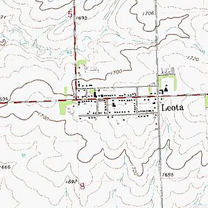
Leota covers about 1.5 square miles of land. It is located on the western side of the Buffalo Ridge. This ridge is a natural dividing line for water. It separates the rivers that flow into the Mississippi River from those that flow into the Missouri River.
Main Roads in Leota
History of Leota
The community of Leota gets its name from Leota Township. Some people say the name Leota came from a romantic story about a young Native American woman. This story was supposedly known by W. G. Barnard, one of the first people to live in the township. However, there's no proof that this story is true. If it is, Leota is the only place in Nobles County named after a specific Native American.
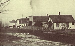
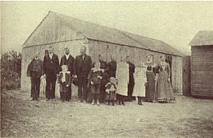
Leota was started in 1891 by Dutch farmers. They moved north from another Dutch settlement in Orange City, Iowa. The very first building in Leota was the Dutch Reformed Church. Later in 1891, three men named John DeBoer, Nick DeBoer, and James TenCate built the first general store.
A post office opened in Leota in 1893. The Christian Reformed Church was built in 1898. A surveyor named M. S. Smith mapped out the town for James TenCate. This map was officially recognized on January 1, 1902. Even though Leota has never been an officially incorporated town, it is still a busy community. The U.S. Census Bureau calls Leota a census-designated place (CDP).
People of Leota
| Historical population | |||
|---|---|---|---|
| Census | Pop. | %± | |
| 2020 | 202 | — | |
| U.S. Decennial Census | |||
In 2000, there were 230 people living in Leota. There were 113 households and 76 families. The community had about 169 people per square mile. All of the people living in Leota were White. A small number, less than 1%, were of Hispanic or Latino background.
About 18% of the households had children under 18 living with them. Most households, about 65%, were married couples. About 24% of households had someone living alone who was 65 years old or older. The average household had about two people.
The population of Leota has a wide range of ages. In 2000, about 16% of the people were under 18. About 39% were 65 years old or older. The average age in Leota was 58 years.
See also
 In Spanish: Leota (Minnesota) para niños
 | Leon Lynch |
 | Milton P. Webster |
 | Ferdinand Smith |


