Linear scale facts for kids
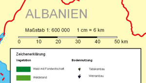
A linear scale is a special line found on maps, nautical charts, and drawings. It is also called a bar scale or graphic scale. This line helps you understand the scale of the map or drawing just by looking at it. It's a common part of how maps are designed.
Imagine you have a map. A linear scale shows you how much real-world distance a certain length on the map represents. For example, a scale might show that one inch on the map equals one mile in real life.
On maps that cover a small area, like a map of your town, the linear scale is usually very simple. It's just a line with marks that show distances. You can use a tool called a pair of dividers, or even your fingers, to measure a distance on the map. Then, you compare that measurement to the linear scale to find out the real distance. The length of the line on the scale matches the real distance multiplied by the map's scale.
For very large maps, like a map of a country or the world, the scale can change depending on where you are on the map. This is because of how maps are flattened from the round Earth. So, a linear scale on these maps might show different scales for different parts of the map.
On nautical charts, which sailors use, linear scales are not always used. This is because the scale on these charts changes a lot with latitude (how far north or south you are). Sailors often use nautical miles, which can be measured using the latitude lines on the sides of the chart.
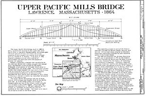
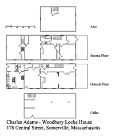
Linear scales are also used on drawings for buildings or machines. However, some drawings might say "Do Not Scale Drawing." This is because paper can shrink or stretch a little with changes in temperature or humidity. So, for very exact measurements, it's safer to only use the numbers written directly on the drawing.
What We Call It
You might hear different names for a linear scale. People use terms like "bar scale," "graphic scale," "graphical scale," or just "scale." All these names mean the same thing: a visual tool that helps you understand distances on a map or drawing. Different books and organizations might prefer one term over another. For example, the International Hydrographic Organization calls it a "linear scale."
More to Explore
- Engineer's scale
- Logarithmic scale (useful when numbers cover a very wide range)
See also
 In Spanish: Escala gráfica para niños
 | Aurelia Browder |
 | Nannie Helen Burroughs |
 | Michelle Alexander |


