List of neighborhoods in Sayreville, New Jersey facts for kids
Sayreville is a borough in Middlesex County, New Jersey. It has many different neighborhoods, both old and new.
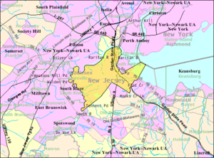
Sayreville covers about 18.7 square miles. Most of this is land, with some water. It sits on a piece of land surrounded by water. The Raritan River is to the north, the South River is to the west, and the Raritan Bay is to the east. The original part of Sayreville was known by names like Sayre's Village and Upper Sayreville.
Sayreville was first settled by Europeans a long time ago. It was part of South Amboy Township starting in 1684. Sayreville became its own township on April 6, 1876. This new township was about 14 square miles. It brought together smaller settlements like Morgan, Melrose, Ernston, and Sayre's Village. The area around the village was called Wood's Landing. It was renamed Sayreville after the Sayre and Fisher Brick Company. At that time, fewer than 2,000 people lived there.
Sayreville grew into an industrial town in the late 1800s. Many companies owned land there, digging for clay and sand. The Sayre & Fisher Brick Company was once the biggest brick factory in the world! Later, other big companies like DuPont and Hercules came to Sayreville. The town even called itself the "Home of Nationally Known Industries." On April 2, 1919, Sayreville officially became a borough.
After World War II, Sayreville changed a lot. Land that used to be for clay mining was sold for building homes. New neighborhoods like President Park were built. Sayreville's population grew quickly, from 8,000 people in 1945 to over 32,000 by 1970.
Most of Sayreville's homes were built in the 1940s, 1950s, and 1960s. In the 1950s, many clay companies sold their land. This made way for new housing "developments." Laurel Park became a large neighborhood with over 500 families. Other new areas included Pershing Park and Haven Village. In the 1960s, more neighborhoods like Woodside and Sayre Woods were built.
By the 1970s and 1980s, Sayreville became more of a bedroom community. This means many residents traveled to jobs outside of town. Its old factories were replaced by more homes. By the 2000s, Sayreville's population was over 40,000. Even old industrial sites were cleaned up and used for new housing.
Sayreville's Neighborhoods
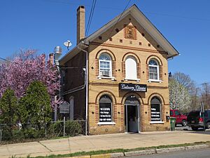
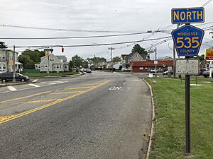
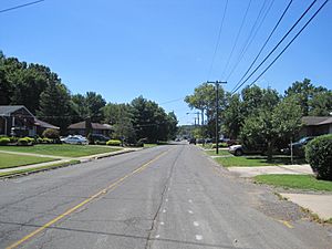
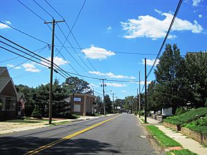
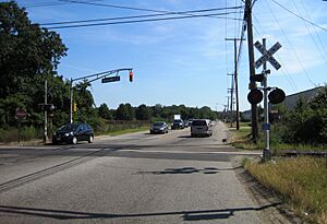
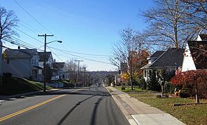
Sayreville has many distinct neighborhoods, each with its own history. Here are some of them:
| Neighborhood | Image | Zip Code | Location Notes |
| Crossmans | 08872, 08879 | Near Parlin, stretching to the Raritan River. | |
| Ernston | Close to Madison Park and the Old Bridge border. | ||
| Gillespie | 08872, 08879 | Known for the historic T. A. Gillespie Company Shell Loading Plant. | |
| La Mer | Located within the Parlin section. | ||
| Laurel Park | In the Ernston section, near Madison Park and Old Bridge Township. | ||
| Lower Sayreville | Once a separate small community. | ||
| MacArthur Manor | In the southern part of Sayreville Proper. Some homes were removed after Hurricane Sandy due to flooding. | ||
| Melrose | 08879 | At the base of the Victory Bridge and Edison Bridge, next to South Amboy. | |
| Morgan | 08879 | East of Route 35, on the Raritan Bay. | |
| Morgan Heights | 08879 | East of Route 35, near Cheesequake Creek and Raritan Bay. | |
| Old Bridge | A historic area along the South River, across from the town of South River. | ||
| Parlin | 08859 | Also extends into Old Bridge Township. | |
| Phoenix | At Main Street and Main Street Extension. | ||
| Presidents Park | An early suburban development along US Route 9. | ||
| Riverton | A strip of land where the Edison Bridge and Driscoll Bridge cross the Raritan. | ||
| Runyon | |||
| Sayre-Woods/Oak Tree East | Along US Route 9 and the Garden State Parkway. | ||
| Sayreville | Also known as Sayre's Village, Sayreville Proper, or Upper Sayreville. | ||
| Sayreville Junction | Originally named after the Raritan River Railroad. | ||
| Sayreville Station | Once the end point of the Raritan River Railroad's Sayreville Branch. | ||
| Tangletown | Part of Sayreville Proper/Upper Sayreville. | ||
| Townelake | Around Towne Lake, near Sayreville Proper. | ||
| Winding Woods |
 | Frances Mary Albrier |
 | Whitney Young |
 | Muhammad Ali |


