List of tributaries of the River Tees facts for kids
The River Tees is an important river in the north of England. It flows for about 85 miles (137 km) from its source high up in the Pennine Hills all the way to the North Sea near Middlesbrough.
A tributary is a smaller stream or river that flows into a larger river. Think of them as the river's "arms" or "branches" that bring water from different areas into the main river. The River Tees has many tributaries joining it along its journey, making it bigger and stronger as it heads towards the sea. This article lists these smaller rivers and streams that feed into the River Tees.
Contents
From Teeshead Source to Cow Green Reservoir
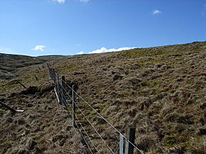
The River Tees begins its journey at a place called Teeshead, high up in the Pennine Hills. Here, it's just a small stream. As it flows downhill, several tiny streams, often called "sikes" or "burns" in this area, join it. These are its first tributaries.
- Slate Sike
- Swath Beck
- Crooked Beck
- Rake Sike
- Fallcrag Sike
- Trout Beck
- Tynegreen Sike
- Great Dodgen Pot Sike
- Crook Burn
- Smithy Sike
- Little Dodgen Pot Sike
- Green Hurth Sike
- Force Burn
Cow Green Reservoir
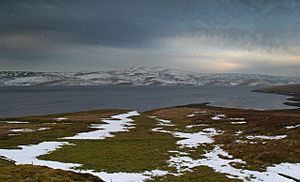
As the River Tees continues its path, it flows into the Cow Green Reservoir. This is a large man-made lake that holds water. Many small streams also flow directly into this reservoir, adding to the water supply. These streams are also considered tributaries of the River Tees system.
- Borderonmere Sike
- Dubby Sike
- Dubbysike East Grain
- Near Hole Sike
- Weelhead Sike
- Cowgreen Sike
- Stapestone Sike
- Red Sike
- Whitespot Sike
- Deadcrook Sike
- Cockle Sike
- Rowantree Sike
- Mattergill Sike
From Cow Green Reservoir to Middleton-in-Teesdale
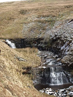
After leaving Cow Green Reservoir, the River Tees flows through beautiful countryside towards the town of Middleton-in-Teesdale. Along this stretch, many more "becks" and "gills" (local names for small streams) join the river, making it wider and faster.
- Maize Beck
- Tinkler's Sike
- Birkdale Hush
- Merrygill Beck
- Crookus Gill
- Black Sike
- Fox Earth's Gill
- Fold Sike
- Holmwath Sike
- Wildscar Sike
- South Loom Sike
- Harwood Beck
- Little Sike
- Dufton Sike
- Fell Dike Sike
- Skyer Beck
- Blea Beck
- Smithy Sike
- Hag Sike
- Ettersgill Beck
- How Gill
- Stony Beck
- Bow Lee Beck
- Newbiggin Beck
- Mill Beck
- Unthank Beck
- Brockersgill Sike
- Owl Gill
- Stonygill Sike
- Park End Beck
- Crossthwaite Beck
- Hudeshope Beck
From Middleton-in-Teesdale to Barnard Castle
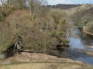
As the River Tees flows from Middleton-in-Teesdale towards the historic town of Barnard Castle, it meets some larger tributaries. These include the River Lune and the River Balder, which are rivers in their own right before they join the Tees.
- River Lune
- Intake Sike
- Low Beck Springs
- Eggleston Burn
- Beer Beck
- Raygill Beck
- Wilden Beck
- River Balder
- Lance Beck
- Grise Beck
- Scur Beck
- Deepdale Beck
- Gill Beck
From Barnard Castle to Darlington
Leaving Barnard Castle, the River Tees continues its journey eastwards towards the larger town of Darlington. Here, it is joined by another notable tributary, the River Greta, known for its scenic beauty.
- Thorsgill Beck
- River Greta
- Whorlton Beck
- Peg Beck
- Alwent Beck
- Black Beck
- Piercebridge Beck
- Ulnaby Beck
- Baydale Beck
From Darlington to Middlesbrough
The final stretch of the River Tees takes it from Darlington to its mouth at Middlesbrough, where it flows into the North Sea. In this industrial area, the river becomes much wider and deeper. Important tributaries like the River Skerne and the River Leven join it here. You can also see the "Old River Tees," which is a part of the river's original path before it was straightened for ships.
- Claw Beck
- River Skerne
- Spa Beck
- Dalton Beck
- Kent Beck
- Wood Head Gill
- Soursike Gill
- Staindale Beck
- Fardean Side
- Worsall Far Gill
- Worsall Gill
- Hole Beck
- Nelly Burden's Beck
- River Leven
- Bassleton Beck
- Old River Tees
- Lustrum Beck
- Billingham Beck
- Ormesby Beck
- Normanby Beck
- Greatham Creek
 | Kyle Baker |
 | Joseph Yoakum |
 | Laura Wheeler Waring |
 | Henry Ossawa Tanner |


