Little Chief Mountain facts for kids
Quick facts for kids Little Chief Mountain |
|
|---|---|

Little Chief Mountain
|
|
| Highest point | |
| Elevation | 9,546 ft (2,910 m) |
| Prominence | 1,781 ft (543 m) |
| Parent peak | Blackfoot Mountain |
| Listing | Mountains in Glacier County, Montana |
| Geography | |
| Location | Glacier County, Montana, U.S. |
| Parent range | Lewis Range |
| Topo map | USGS Rising Sun, MT |
| Climbing | |
| First ascent | 1894 (Henry L. Stimson) |
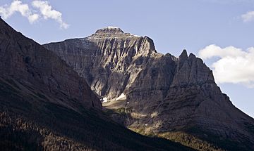
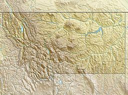
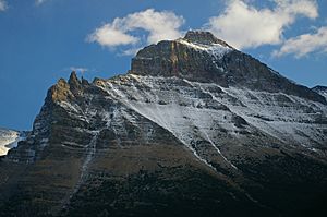
Little Chief Mountain is a tall mountain, standing at 9,546 feet (2,910 meters) high. It's found in the Lewis Range, inside Glacier National Park in the U.S. state of Montana.
You can easily spot Little Chief Mountain from the famous Going-to-the-Sun Road. It rises up south of Saint Mary Lake. The mountain got its name in 1887 from a man named George Bird Grinnell. He named it after his friend, Captain Luther North, who was in the U.S. Army. Captain North's Pawnee scouts had given him the special name "Little Chief."
Climate of Little Chief Mountain
Little Chief Mountain is in a place with a "subarctic climate." This means it has very long and usually super cold winters. The summers are short, cool, and mild. Winter temperatures can easily drop below −10 °F (−23 °C). With the wind, it can feel even colder, sometimes below −30 °F (−34 °C)!
How Little Chief Mountain Was Formed
Just like other mountains in Glacier National Park, Little Chief Mountain is made of sedimentary rock. This type of rock forms from layers of sand, mud, and tiny bits of plants and animals that settle over millions of years.
These rocks were laid down a very, very long time ago, from the Precambrian to the Jurassic periods. They formed in shallow seas. About 170 million years ago, these rocks began to be pushed upwards. This happened because of something called the Lewis Overthrust fault. This fault pushed a huge slab of ancient rocks, about 3 miles (4.8 km) thick, 50 miles (80 km) wide, and 160 miles (257 km) long, over younger rocks.
 | Audre Lorde |
 | John Berry Meachum |
 | Ferdinand Lee Barnett |


