Mahtotopa Mountain facts for kids
Quick facts for kids Mahtotopa Mountain |
|
|---|---|

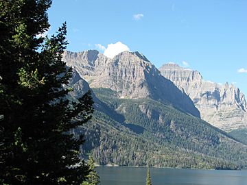
Mahtotopa Mountain under the cloud with Little Chief Mountain in background
|
|
| Highest point | |
| Elevation | 8,677 ft (2,645 m) |
| Prominence | 417 ft (127 m) |
| Geography | |
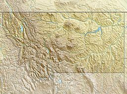
| Location | Glacier County, Montana, U.S. |
| Parent range | Lewis Range |
| Topo map | USGS Rising Sun, MT |
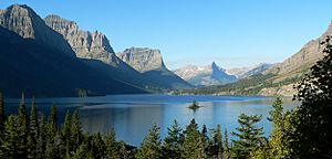
Mahtotopa Mountain is a cool peak located in Glacier National Park in the U.S. state of Montana. It stands tall at 8,677 feet (2,645 meters) and is part of the Lewis Range. You can easily spot this mountain from the famous Going-to-the-Sun Road, especially if you're near the Rising Sun area. It rises proudly above Saint Mary Lake, with Red Eagle Mountain and Little Chief Mountain nearby.
About Mahtotopa Mountain
Mahtotopa Mountain is an important landmark within Glacier National Park. It is known for its impressive height and its location in the beautiful Lewis Range. The mountain offers stunning views of the surrounding park, including the clear waters of Saint Mary Lake. Its position makes it a popular sight for visitors driving along the scenic Going-to-the-Sun Road.
Its Name and History
The mountain's name has an interesting story. It was first named Four Bears Mountain in 1885 by George Bird Grinnell. Grinnell was an explorer and historian. However, the name was changed in 1932 to Mahtotopa.
The name Mahtotopa is actually a slightly different spelling of "Mato-tope". Mato-tope was a famous Mandan chief, also known as Four Bears. He was a respected leader of his people. Mato-tope was also the grandfather of Joe Kipp, who was a hunting friend of George Bird Grinnell. This connection is why Grinnell originally chose the name Four Bears Mountain.
 | Janet Taylor Pickett |
 | Synthia Saint James |
 | Howardena Pindell |
 | Faith Ringgold |


