Mameigwess Lake (north Kenora District) facts for kids
Quick facts for kids Mameigwess Lake |
|
|---|---|
| lac Mameigwess | |
| Location | Kenora District, Ontario |
| Coordinates | 52°33′45″N 87°51′10″W / 52.56250°N 87.85278°W |
| Type | Lake |
| Part of | Hudson Bay drainage basin |
| Primary inflows | Michikenopik Creek |
| Primary outflows | Fishbasket Lake |
| Basin countries | Canada |
| Surface elevation | 245 metres (804 ft) |
Mameigwess Lake is a lake found in a wild, unorganized part of Kenora District in Ontario, Canada. It has an interesting, uneven shape. This lake is an important part of the huge Hudson Bay drainage basin, which means its water eventually flows into Hudson Bay.
Discover Mameigwess Lake
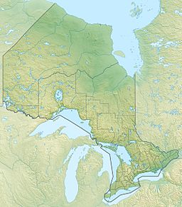
Mameigwess Lake is located in the northern area of Ontario, Canada. This region is called "unorganized" because it doesn't have local city governments like towns do. The lake sits about 245 meters (804 feet) above sea level.
How Water Flows Through the Lake
Mameigwess Lake is like a stop on a long water journey that ends in Hudson Bay. Water flows into the lake from Michikenopik Creek at its southwest corner. Many other smaller streams also feed into the lake.
The main way water leaves Mameigwess Lake is through a channel at its northwest side. This channel leads to Fishbasket Lake. From there, the water continues its journey through the Fishbasket River and Winisk Lake. Finally, it flows into the Winisk River, which carries it all the way to Hudson Bay.


