Manole Pass facts for kids
Manole Pass is an ice-covered saddle, which is like a low point or dip between two higher areas. It's located in the amazing Sentinel Range of the Ellsworth Mountains in Antarctica. This pass sits at a high elevation of about 2,350 meters (7,710 feet) above sea level.
It separates two important areas: Veregava Ridge and Doyran Heights. Manole Pass is also a key part of a "glacial divide." This means it helps separate the paths of two glaciers: the upper part of Dater Glacier and its smaller branch, Hansen Glacier.
The name 'Manole' comes from a settlement called Manole in Southern Bulgaria.
Where is Manole Pass?
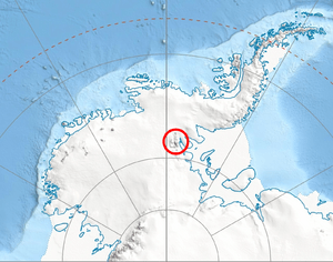
Manole Pass is found in a very cold and icy part of the world! It's located in the western part of Antarctica, specifically in the Ellsworth Mountains. You can find its exact spot using these coordinates: 78°30′12″S 84°58′21″W / 78.50333°S 84.97250°W.
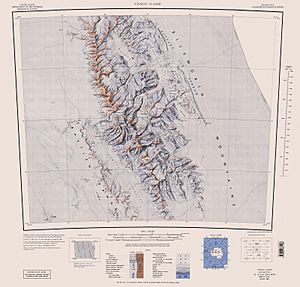
This icy saddle is quite close to some other famous landmarks in the region. For example, it's about 14.5 kilometers (9 miles) east-northeast of Mount Vinson, which is the highest peak in Antarctica! It's also near Parangalitsa Peak and Mount Tuck. Maps of this area were first made by the United States in 1961 and then updated in 1988.
 | Claudette Colvin |
 | Myrlie Evers-Williams |
 | Alberta Odell Jones |


