Dater Glacier facts for kids
Quick facts for kids Dater Glacier |
|
|---|---|

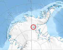
Location of Sentinel Range in Western Antarctica
|
|
| Location | Ellsworth Land |
| Coordinates | 78°17′S 84°35′W / 78.283°S 84.583°W |
| Length | 24 nmi (44 km; 28 mi) |
| Width | 3 nmi (6 km; 3 mi) |
| Thickness | unknown |
| Terminus | Rutford Ice Stream |
| Status | unknown |
The Dater Glacier is a long, icy river in Antarctica. It is about 24 nautical miles (44 km; 28 mi) long and between 1 to 3 nautical miles (2 to 6 km; 1 to 3 mi) wide. This glacier flows towards the northeast from the eastern side of the Vinson Massif. It winds its way between two areas called Sullivan Heights and Veregava Ridge. Eventually, it joins the Rutford Ice Stream, which is a large ice stream bordering the eastern part of the Sentinel Range in the Ellsworth Mountains. Near its end, the Dater Glacier meets up with the Ellen Glacier. Together, they flow out of the Sentinel Range just north of the Flowers Hills.
How Dater Glacier Was Discovered
The Dater Glacier was first seen by the United States Navy Squadron VX-6. They took photos of the area from airplanes on December 14 and 15, 1959. Later, the United States Geological Survey used these photos to create maps of the glacier. The glacier was named by the Advisory Committee on Antarctic Names. They chose the name to honor Henry M. Dater, who was a historian. He worked for the U.S. Antarctic Projects Officer and the U.S. Naval Support Force Antarctica.
Glaciers That Join Dater Glacier
Several smaller glaciers flow into the Dater Glacier, adding to its size. These are:
Finding Dater Glacier on a Map
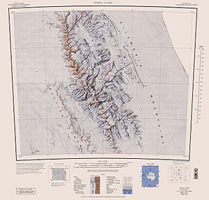
You can find the Dater Glacier on special maps of Antarctica. One detailed map is:
- Vinson Massif. Scale 1:250 000 topographic map. Reston, Virginia: US Geological Survey, 1988.
 | Kyle Baker |
 | Joseph Yoakum |
 | Laura Wheeler Waring |
 | Henry Ossawa Tanner |


