Berisad Glacier facts for kids
Quick facts for kids Berisad Glacier |
|
|---|---|

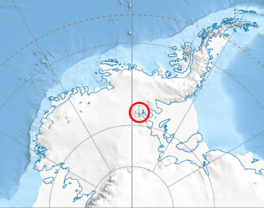
Location of Sentinel Range in Western Antarctica
|
|
| Location | Ellsworth Land |
| Coordinates | 78°25′20″S 84°51′50″W / 78.42222°S 84.86389°W |
| Length | 3 nmi (6 km; 3 mi) |
| Width | 1 nmi (2 km; 1 mi) |
| Thickness | unknown |
| Terminus | Dater Glacier |
| Status | unknown |
The Berisad Glacier is a large river of ice found in Antarctica. It is about 3 nautical miles (5.6 kilometers) long and 1 nautical mile (1.9 kilometers) wide. This glacier is located in the Veregava Ridge, which is part of the central Sentinel Range. The Sentinel Range itself is within the Ellsworth Mountains.
The Berisad Glacier flows towards the north-northwest. It starts near a place called Kushla Peak. As it moves, it eventually joins up with another glacier known as Dater Glacier. This meeting point is located northeast of Sipey Peak.
This glacier was named in honor of an ancient ruler. It gets its name from Berisades, who was a king of Thrace. He ruled his kingdom from 358 to 352 BC.
Where is Berisad Glacier?
The Berisad Glacier is located in a very specific spot in Antarctica. Its exact coordinates are 78°25′20″S (South) and 84°51′50″W (West). These numbers help scientists and explorers find its precise position on a map.
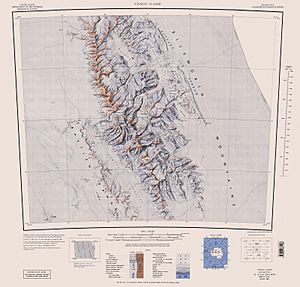
The area around Berisad Glacier was first mapped by the United States in 1961. These maps were later updated in 1988 to be even more accurate.
 | May Edward Chinn |
 | Rebecca Cole |
 | Alexa Canady |
 | Dorothy Lavinia Brown |


