Veregava Ridge facts for kids
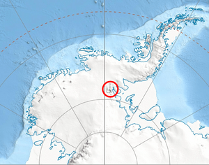
Veregava Ridge is a tall mountain ridge in Antarctica. It reaches a height of 3,100 meters (about 10,170 feet) at a peak called Mount Waldron. This ridge is found in the northeast part of the Vinson Massif. The Vinson Massif is a very large mountain group within the Sentinel Range, which is part of the Ellsworth Mountains in Antarctica.
The Veregava Ridge stretches for about 15.7 kilometers (9.8 miles) from southwest to northeast. It is also about 6 kilometers (3.7 miles) wide from southeast to northwest. Inside the ridge, you'll find two glaciers: Berisad Glacier and Orizari Glacier. These glaciers help drain the area.
The ridge has natural borders. The Dater Glacier is to its west and north. The Hansen Glacier, which flows into Dater Glacier, is to its southeast. To the south, Manole Pass separates Veregava Ridge from Doyran Heights.
The name Veregava Ridge comes from the eastern Balkan Mountains. Veregava was an old Bulgarian name for those mountains.
Where is Veregava Ridge?
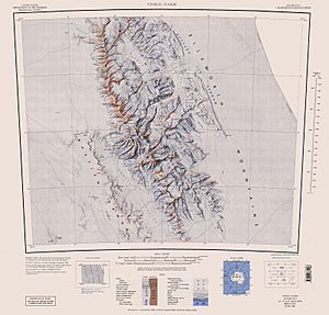
Veregava Ridge is located at 78°26′30″S 84°55′00″W / 78.44167°S 84.91667°W. This means it's in a very cold and remote part of Antarctica. Maps of this area were first made by the United States in 1961 and then updated in 1988.
What are the main features of Veregava Ridge?
The Veregava Ridge area has several important geographical features. These include:
 | James Van Der Zee |
 | Alma Thomas |
 | Ellis Wilson |
 | Margaret Taylor-Burroughs |


