Margarita Peak facts for kids
Quick facts for kids Margarita Peak |
|
|---|---|

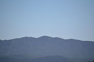
View of Margarita Peak looking west
|
|
| Highest point | |
| Elevation | 3,193 ft (973 m) NAVD 88 |
| Prominence | 1,029 ft (314 m) |
| Geography | |
| Location | San Diego County, California |
| Parent range | Santa Margarita Mountains |
| Topo map | USGS Margarita Peak |
Margarita Peak is a tall and important mountain located in San Diego County. It stands about 3,193 feet (973 meters) high! This makes it one of the most noticeable peaks in the area. It is found about 9 miles southwest of Murrieta Hot Springs and 9 miles northwest of Fallbrook.
About Margarita Peak
Margarita Peak is a very prominent mountain, meaning it stands out clearly from the land around it. Its summit, or highest point, is the 32nd most prominent peak in all of San Diego County. The mountain is part of the Santa Margarita Mountains range.
A Special Place
For a long time, Margarita Peak was considered one of San Diego's "hidden gems." Not many people knew about the trail to the top. Those who did visit were rewarded with amazing 360-degree views from the summit. You could see for miles in every direction!
Why Public Access is Limited
Today, Margarita Peak and the land around it, called the Margarita Peak Preserve, are owned by the Fallbrook Land Conservancy. This group works to protect natural areas. They have closed the peak to the public. This closure allows scientists to study the plants and animals that live there. It also helps protect the sensitive natural habitats found on the mountain.
The Old Trail
Before public access was closed, there was a trail that led to the peak. The main part of the trail started on Margarita Road. This was about 13 miles southwest of I-15. The trail was about 3 miles long each way. Hikers would follow it towards a spot called Margarita Lookout. To reach the very top of Margarita Peak, people had to use a very steep and rough path. This path was actually a firebreak, which is a cleared strip of land meant to stop wildfires.
 | Dorothy Vaughan |
 | Charles Henry Turner |
 | Hildrus Poindexter |
 | Henry Cecil McBay |

