Michikan Lake facts for kids
Quick facts for kids Michikan Lake |
|
|---|---|
| Location | Kenora District, Ontario |
| Coordinates | 53°55′08″N 90°58′59″W / 53.91889°N 90.98306°W |
| Part of | Hudson Bay drainage basin |
| Basin countries | Canada |
| Max. length | 6.5 km (4.0 mi) |
| Max. width | 2.5 km (1.6 mi) |
| Surface elevation | 226 m (741 ft) |
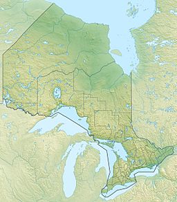
Michikan Lake is a beautiful lake located in Ontario, Canada. It's found in a part of Ontario called the Kenora District. The lake is part of a large area where all the water eventually flows into Hudson Bay. This big area is called the drainage basin.
Contents
Water Flow in Michikan Lake
Michikan Lake gets its water from a few places. The main amount of water flows in from an unnamed river on the west side. Another river, also unnamed, brings water into the lake from the north.
How Water Leaves the Lake
The water leaves Michikan Lake from its southeast side. It flows out through a channel that leads to the Severn River. The Severn River then carries this water all the way to Hudson Bay.
Home of the Bearskin Lake First Nation
Michikan Lake is a very important place for the Bearskin Lake First Nation. This is an Indigenous community in Canada. Their main settlements are located right on the shores of Michikan Lake.
A New Home for the Community
The Bearskin Lake First Nation community didn't always live here. In the 1930s, they moved to Michikan Lake. Their old home was about 50 kilometers (31 miles) southwest, at a place called Bearskin Lake. Part of their special land, called the Bearskin Lake Indian Reserve, is around Michikan Lake.
 | Aurelia Browder |
 | Nannie Helen Burroughs |
 | Michelle Alexander |


