Mount Ptolemy (Canada) facts for kids
Quick facts for kids Mount Ptolemy |
|
|---|---|
| Highest point | |
| Elevation | 2,813 m (9,229 ft) |
| Prominence | 916 m (3,005 ft) |
| Geography | |
| Location | Alberta / British Columbia, Canada |
| Parent range | Crowsnest Range |
| Topo map | NTS 82G/10 |
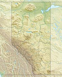
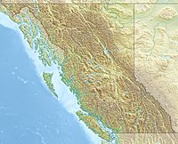
Mount Ptolemy is a tall mountain in Canada. It is the highest peak in the Crowsnest Range. This mountain sits right on the border between two Canadian provinces. These are Alberta and British Columbia.
Mount Ptolemy is also part of the Continental Divide of the Americas. This is a line of high ground. It separates the rivers that flow to the Pacific Ocean from those that flow to the Atlantic Ocean.
About Mount Ptolemy
Mount Ptolemy is about 2,813 meters (9,229 feet) high. It is a very noticeable mountain in its area. It is considered Alberta's 57th most prominent mountain. A prominent mountain stands out from the land around it.
Location and Name
The mountain is located near the Crowsnest Pass. It is about 10 kilometers (6 miles) southeast of the pass. It is also about 5 kilometers (3 miles) northeast of a place called Corbin.
Mount Ptolemy got its name in 1914. It was named by a person named Arthur O. Wheeler. He was a famous surveyor and mountaineer. He thought the mountain looked like a person sitting with their arms folded. For a while, people also called this mountain "Mummy Mountain."
 | Delilah Pierce |
 | Gordon Parks |
 | Augusta Savage |
 | Charles Ethan Porter |


