Naosap Mud Lake facts for kids
Quick facts for kids Naosap Mud Lake |
|
|---|---|

Naosap Mud Lake
|
|
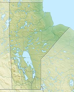
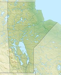
| Location | Manitoba |
| Coordinates | 54°50′57″N 101°29′33″W / 54.84917°N 101.49250°W |
| Lake type | Glacial Lake |
| Primary inflows | none |
| Primary outflows | Naosap Lake |
| Basin countries | Canada |
| Max. length | 1.4 km (0.87 mi) |
| Max. width | .7 km (0.43 mi) |
| Shore length1 | 4.7 km (2.9 mi) |
| Surface elevation | 332 m (1,089 ft) |
| Islands | 0 |
| 1 Shore length is not a well-defined measure. | |
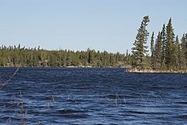
Naosap Mud Lake is a small, cool lake in Manitoba, Canada. It's about 22 km (14 mi) (14 miles) northeast of Bakers Narrows. This lake is special because it was formed by glaciers long ago! Its water flows into Naosap Lake. Naosap Mud Lake is part of a huge water system called the Nelson River watershed. This system eventually reaches Hudson Bay in the Northern Region of Manitoba.
About Naosap Mud Lake
This lake is located in a beautiful area known as the Churchill River Upland. This part of Canada is covered by the Midwestern Canadian Shield forests. Imagine a forest with many different trees! Around Naosap Mud Lake, you'll find a mix of trees. These include black spruce, white spruce, jack pine, and trembling aspen. The land right around the lake can be quite wet and marshy. These wet areas are called muskeg. Muskeg is a type of bog, which is a wet, spongy ground often covered in moss.
Name of the Lake
The name "Naosap Mud Lake" was officially recognized in 1979.
Canoe Adventures
Naosap Mud Lake is a stop on a popular canoe adventure called the "Mistik Creek Loop." This exciting trip is about 95 km (59 mi) (59 miles) long. You can paddle the whole route in about four days. The journey starts and ends at Bakers Narrows. From Naosap Mud Lake, you can carry your canoe (this is called a portage) east to Naosap Lake. You can also portage south to Alberts Lake.
 | John T. Biggers |
 | Thomas Blackshear |
 | Mark Bradford |
 | Beverly Buchanan |


