Nassau, Delaware facts for kids
Quick facts for kids
Nassau, Delaware
|
|
|---|---|

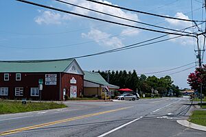
Intersection of Nassau Road and New Road
|
|
| Country | United States |
| State | Delaware |
| County | Sussex |
| Elevation | 26 ft (8 m) |
| Time zone | UTC-5 (Eastern (EST)) |
| • Summer (DST) | UTC-4 (EDT) |
| ZIP code |
19969
|
| Area code(s) | 302 |
| GNIS feature ID | 214371 |
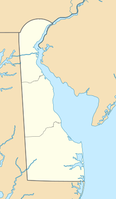
Nassau is a small community in Delaware, United States. It is an "unincorporated community." This means it does not have its own local government or mayor. Nassau is located in the eastern part of Sussex County. It lies just west of the city of Lewes. It is also northeast of Georgetown, which is the main town for Sussex County.
Nassau is about 26 feet (8 meters) above sea level. It has its own post office and a special number called a ZIP code, which is 19969.
About Nassau, Delaware
Nassau is part of a larger area that includes Salisbury, Maryland. This area is sometimes called the Salisbury Metropolitan Statistical Area. It helps describe how different towns and cities are connected.
The Old Railway Line
A railway line used to run through Nassau. This line was called the Delaware Coast Line Railway. It traveled to Lewes, where it served a company named SPI Pharma. The trains used to carry goods like chemicals in special cars.
The railway was important for moving products to and from the company. The last train ran on this line in 2017.
From Rails to Trails
After the trains stopped running, the railway tracks were removed. The path where the trains used to go has now been turned into something new. It is now a bike path and a walking trail. This means people can enjoy walking or biking where trains once traveled. This trail is a great way to explore the area.
 | Valerie Thomas |
 | Frederick McKinley Jones |
 | George Edward Alcorn Jr. |
 | Thomas Mensah |


