National Register of Historic Places listings in Greene County, Illinois facts for kids
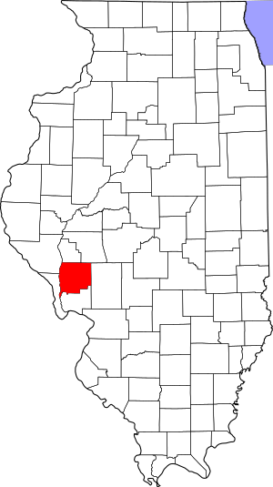
Have you ever wondered about really old buildings or special places that tell a story? In Greene County, Illinois, there are 12 amazing spots that are so important, they're listed on the National Register of Historic Places. This is like a special list kept by the United States government to protect and celebrate places that have a lot of history. It helps make sure these cool places are around for a long, long time!
What is the National Register of Historic Places?
The National Register of Historic Places is the official list of the nation's historic places worth saving. It's part of a big program to help people understand and protect America's history. When a place is on this list, it means it's special because of its history, its design, or what happened there.
Historic Places in Greene County
Greene County has many interesting places on this list. Let's explore some of them!
Black Homestead Farm
The Black Homestead Farm is located near Carrollton. It was added to the National Register in 2005. A "homestead" is a place where a family settled and built their home and farm, often a long time ago. This farm helps us remember how people lived and worked in the past.
Carrollton Courthouse Square Historic District
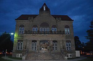
In the heart of Carrollton, you'll find the Carrollton Courthouse Square Historic District. This area includes the historic courthouse and the buildings around it. It's like stepping back in time to see what a busy town center looked like many years ago. It was added to the list in 1985.
James John Eldred House
The James John Eldred House is found near Eldred. This house became a historic place in 1999. Old houses like this one can tell us a lot about how people lived, the styles of buildings they used, and the families who called them home.
Greene County Almshouse
Northeast of Carrollton is the Greene County Almshouse. This building was listed in 1991. An "almshouse" was a place where poor people or those who couldn't care for themselves could live. It shows how communities used to help people in need.
Hodges House
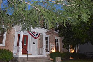
The Hodges House is another historic home in Carrollton, added to the list in 1980. It's located on North Main Street. Each old house has its own story, and the Hodges House is a part of Carrollton's long history.
Hotel Roodhouse
In Roodhouse, you can find the Hotel Roodhouse, which became historic in 1995. Hotels are often important because they were central places for travelers and community events. This hotel likely saw many people come and go over the years.
Koster Site
The Koster Site, near Eldred, is a very special place. It was added to the National Register way back in 1972. This isn't a building, but an important archaeological site. This means scientists have found evidence here of people living in this area thousands of years ago! It's like a giant puzzle that helps us understand ancient history.
Mound House Site
Another archaeological site is the Mound House Site, located near Hillview on the Illinois River. It was listed in 1978. "Mound" often refers to ancient earthworks built by early Native American cultures. These sites are super important for learning about the first people who lived in Illinois.
Henry T. Rainey Farm
The Henry T. Rainey Farm, near Carrollton, was added to the list in 1987. Henry T. Rainey was a very important politician from Illinois who even became the Speaker of the U.S. House of Representatives! His farm reminds us of his life and contributions.
Virginia Tillery Round Barn
West of White Hall, you'll find the Virginia Tillery Round Barn, listed in 1982. Round barns are quite unique and were built for specific farming reasons. They are a cool example of different building styles used in agriculture.
White Hall Foundry
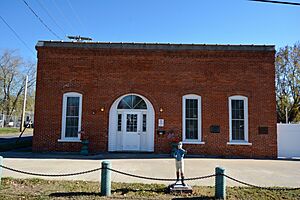
The White Hall Foundry, located in White Hall, became a historic site in 1980. A "foundry" is a place where metal is melted and shaped into different objects. This foundry played a big part in making tools and other metal items for the community.
White Hall Historic District
Just like Carrollton, White Hall also has its own historic district. This area, added in 1987, includes several important streets and buildings. It helps preserve the look and feel of White Hall from many years ago, showing how the town grew and changed.
Images for kids


