Otsego County High Point facts for kids
Quick facts for kids Unnamed Peak |
|
|---|---|
| Highest point | |
| Elevation | 2,421 feet (738 m) |
| Prominence | 80 feet (24 m) |
| Listing | New York County High Points 19th |
| Geography | |
| Location | East Worcester, New York, U.S. |
| Topo map | USGS South Valley |
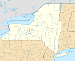
This unnamed peak is known as the Otsego County High Point. It holds the special title of being the tallest spot in Otsego County, New York. You can find this peak just east of East Worcester, New York. It stands tall at 2,421 feet (738 meters) above sea level.
About the Otsego County High Point
The Otsego County High Point is an important landmark. It marks the highest natural elevation within Otsego County. This peak is also part of a larger list. It ranks 19th out of 62 county high points across the entire state of New York.
Location and Features
This peak is located in a beautiful part of New York. It is found in the central region of the state. The area around the peak is known for its rolling hills and green landscapes. The peak itself is not officially named on maps. However, it is recognized as the highest point in its county.
What is a County High Point?
A county high point is simply the highest natural elevation within a specific county. People who enjoy hiking and exploring often try to visit these high points. It's a fun way to see different parts of a state. The Otsego County High Point is one of many such points in New York.


