Pettit Lake facts for kids
Quick facts for kids Pettit Lake |
|
|---|---|

Pettit Lake
|
|
| Location | Blaine County, Idaho |
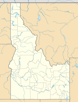
| Coordinates | 43°59′N 114°53′W / 43.98°N 114.88°W |
| Type | Glacial |
| Primary inflows | Creek from Alice Lake |
| Primary outflows | Creek to Alturas Lake Creek to Salmon River |
| Basin countries | United States |
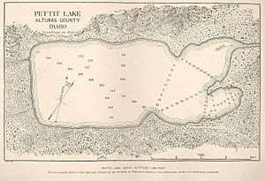
| Max. length | 1.40 mi (2.25 km) |
| Max. width | 0.55 mi (0.89 km) |
| Surface elevation | 6,996 ft (2,132 m) |
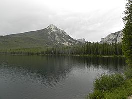
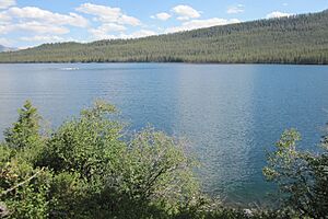
Pettit Lake is a big lake found high up in the mountains. It's located in Blaine County, Idaho, in the United States. This beautiful lake is part of the Sawtooth Valley and the Sawtooth National Recreation Area.
Pettit Lake is about 16 miles (26 km) south of a town called Stanley. It's also about 33 miles (53 km) northwest of another town, Ketchum.
Getting to Pettit Lake
You can reach Pettit Lake from State Highway 75. Just follow Sawtooth National Forest road 205. Around the lake, you'll find places to camp. There are also trailheads, which are starting points for hiking paths.
About the Lake
Pettit Lake is one of the largest lakes in the southern part of the Sawtooth Valley. It's the third biggest lake in the Sawtooth National Recreation Area. The lake sits at an elevation of 6,996 feet (2,132 m) above sea level. This means it's quite high up in the mountains!
The lake is just east of the Sawtooth Wilderness. Water flows into Pettit Lake from other popular spots like Alice Lake and the Twin Lakes.
 | Kyle Baker |
 | Joseph Yoakum |
 | Laura Wheeler Waring |
 | Henry Ossawa Tanner |


